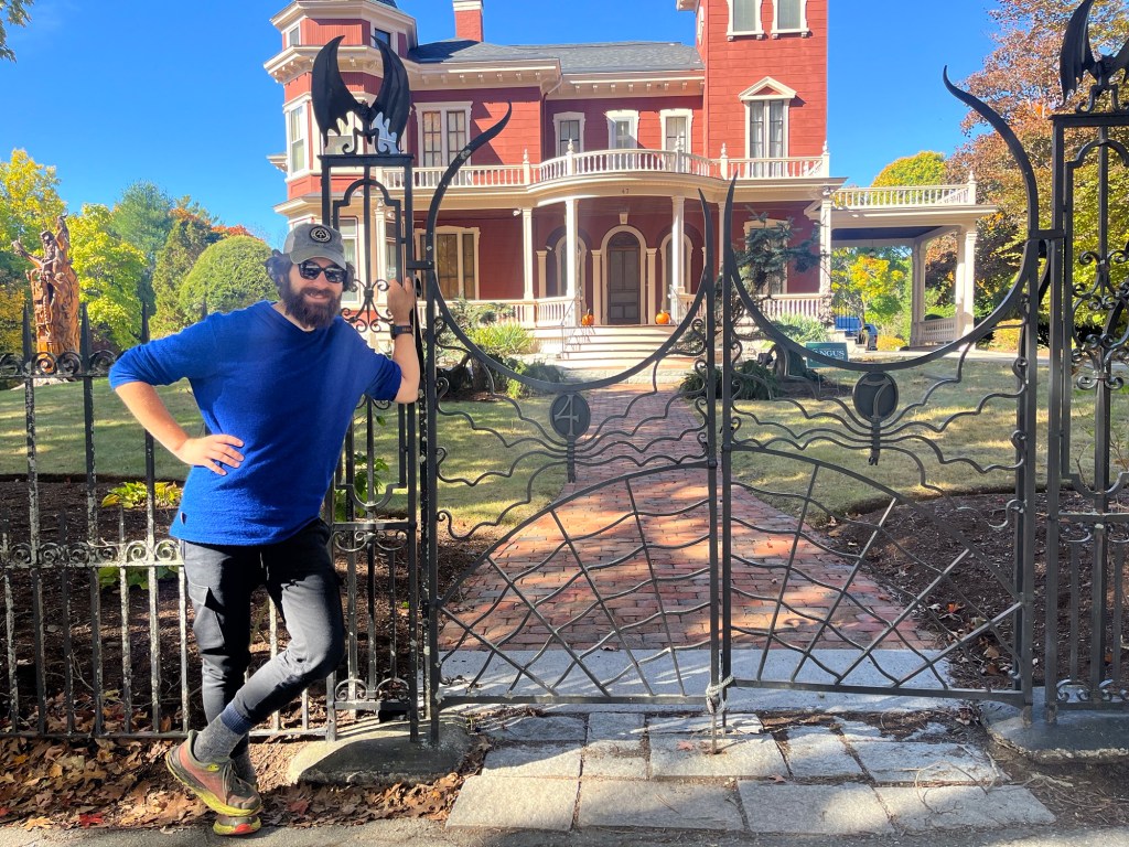
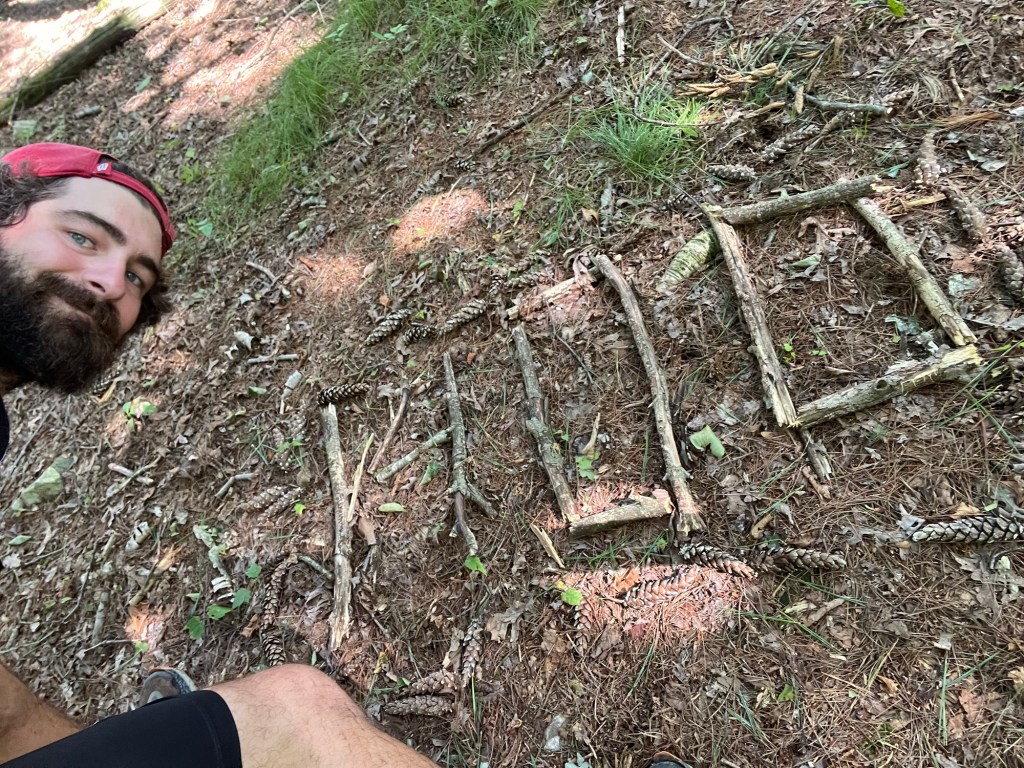
The North Country Trail – Section Hiking in our own Backyard

Hi Folks!

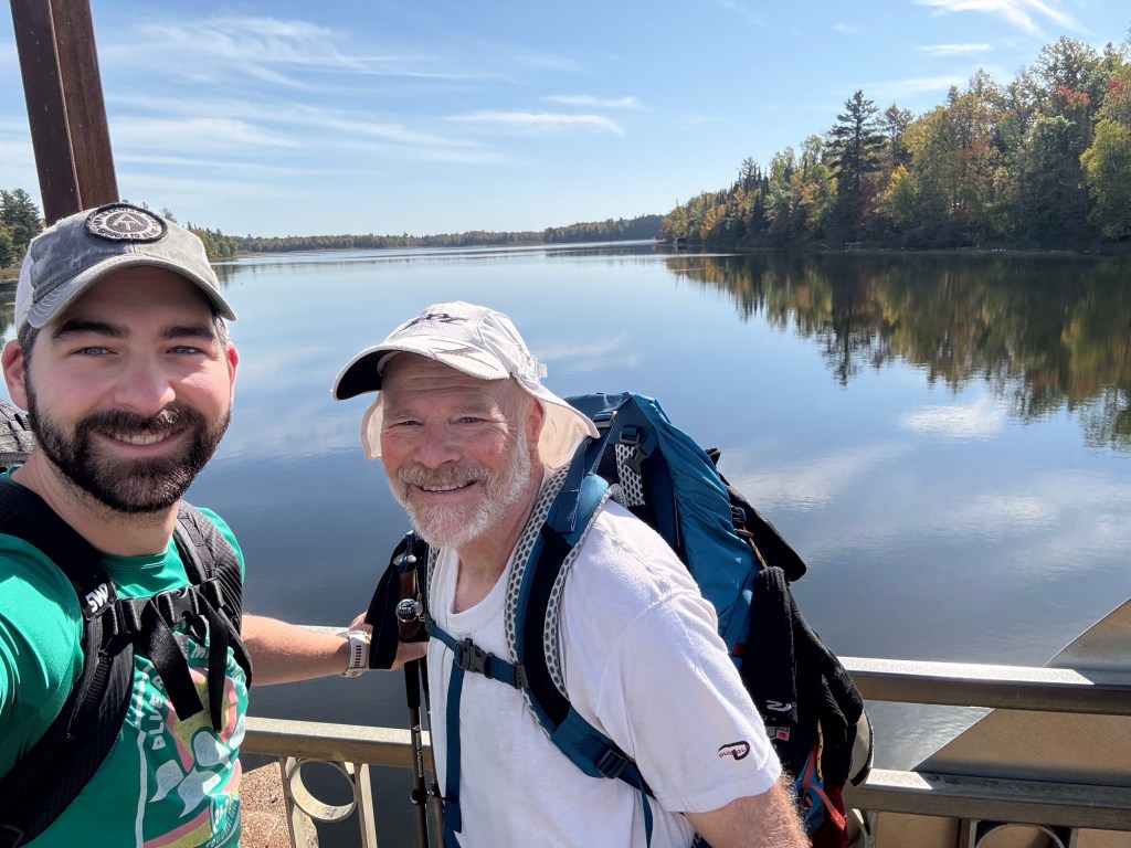
It’s been awhile since I’ve blown the dust off of this blog to post an update, so I figured it was time to update y’all on some recent hiking activity that I’ve undertaken. Over the course of the past year, I’ve been busily working and saving up for future hiking endeavors (more on that later). After a laborious summer of long hours peddling pizza and coffee in Hayward, WI, it was high time to break away from the world for another peaceful excursion into the woods. Notably, though, this time I was hiking right here in Wisconsin, and I was accompanied by my friend Matt Ostrander for his first backpacking trip!

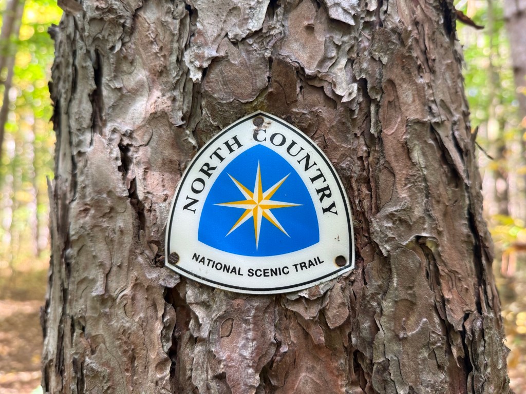
So, what is the North Country Trail?

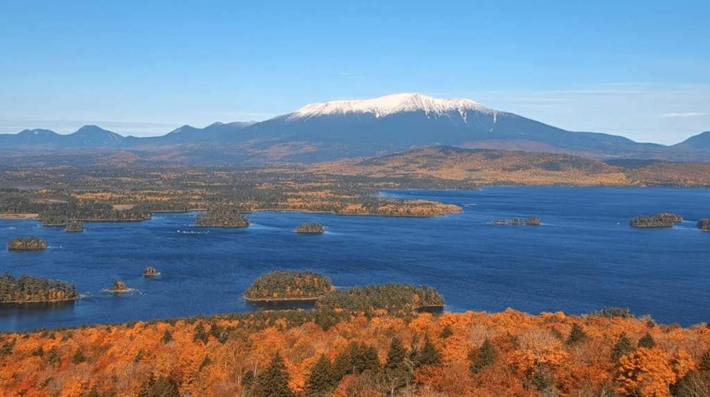
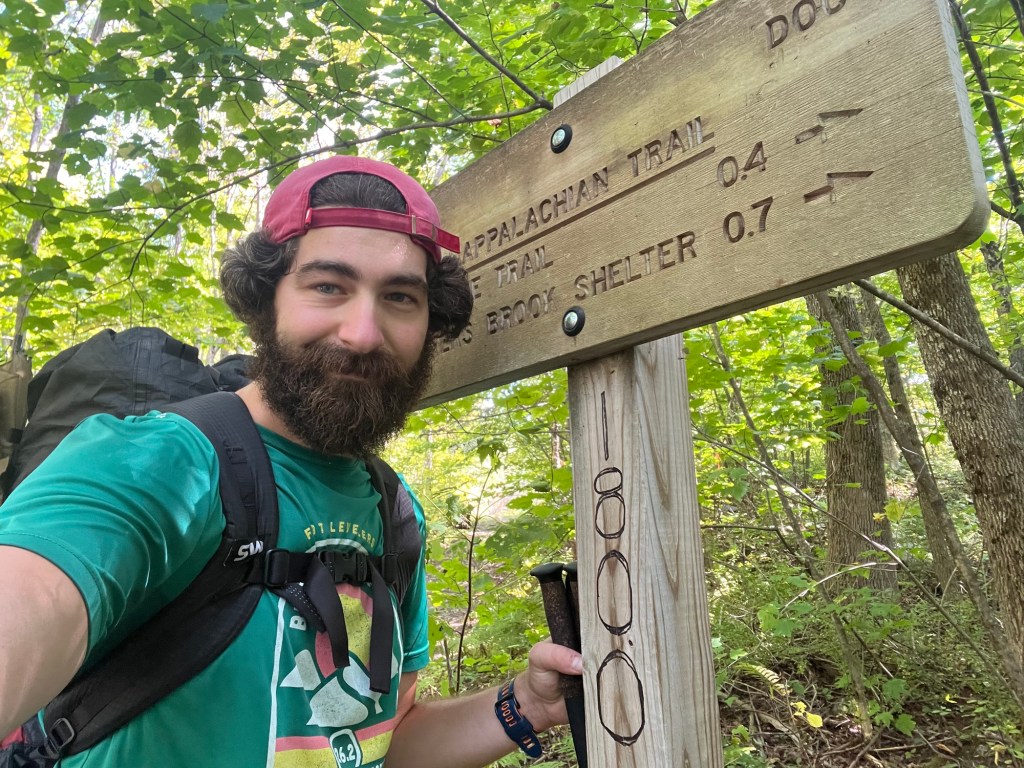
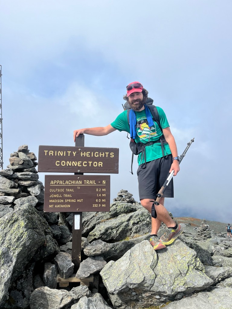
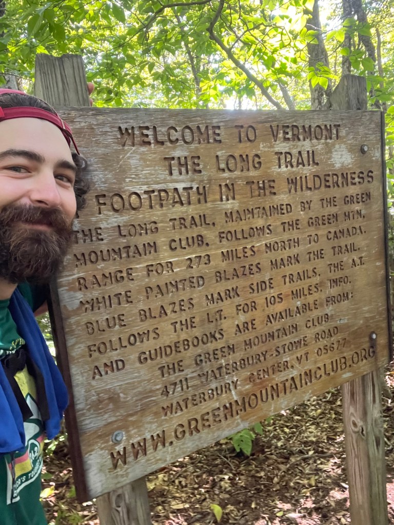
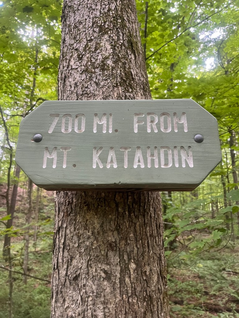
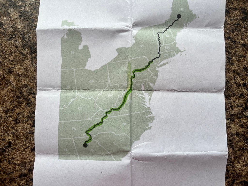
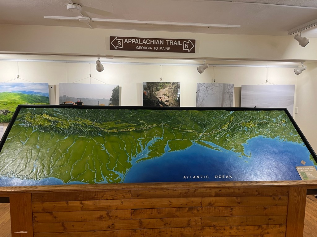
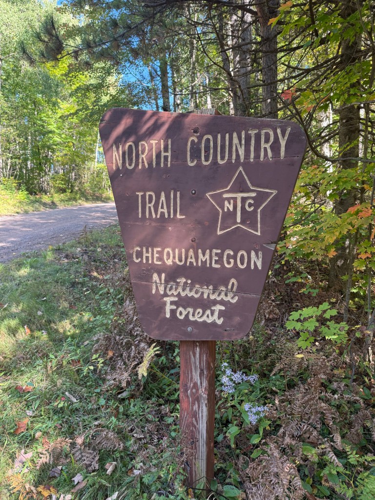
For those who don’t know (and I’ve come to find that’s a great many people), the North Country Trail (NCT for short) is a roughly 4,800 mile trail that runs from North Dakota in the west to Vermont in the east. It actually terminates where it meets up with the Appalachian Trail, just outside of Killington, VT. Just about 212 miles of the NCT passes through northern Wisconsin, making it really accessible for somebody that lives in Hayward.

Image from the North Country Trail’s website here.

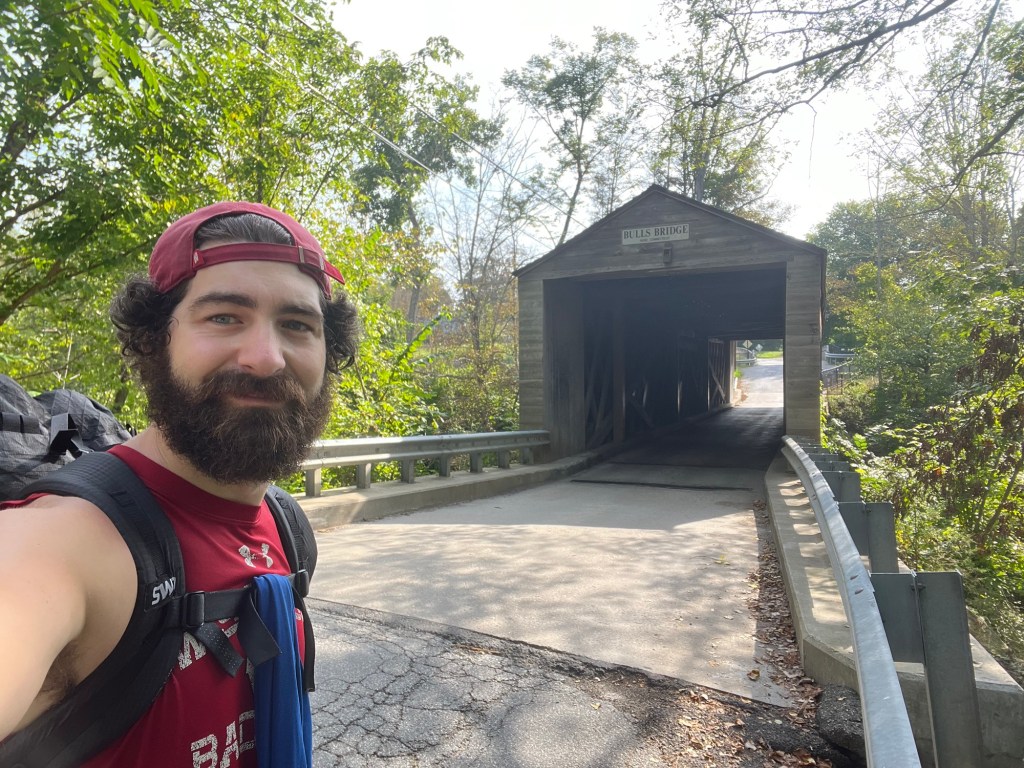
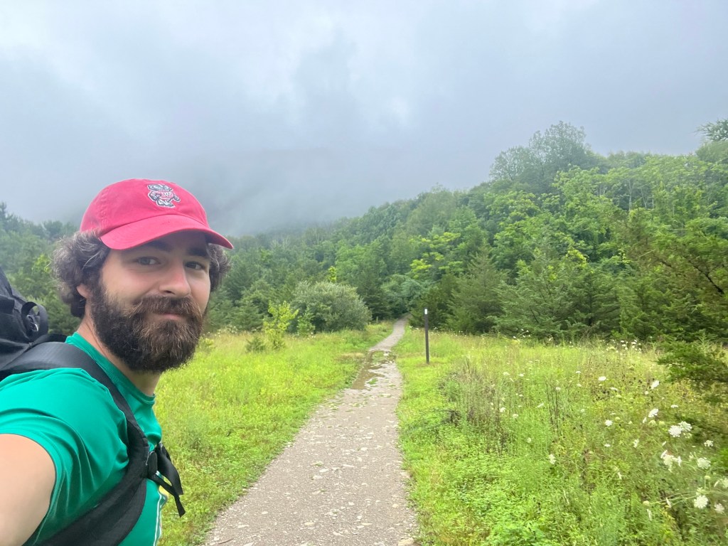
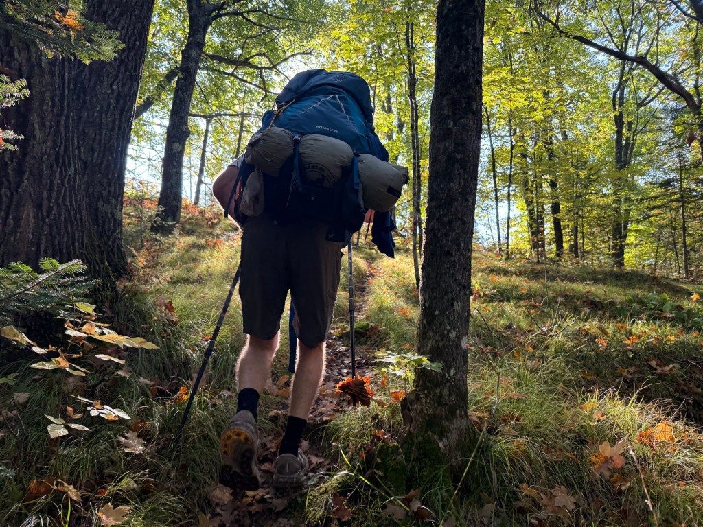
Since finishing the AT in December 2024, I had not been on an overnight backpacking trip of any sort. I was delightedly surprised when Matt asked me if I might be interested in accompanying him on a hike on the NCT. As this was his first backpacking trip, it was necessary to meet up a couple of times before leaving for the trip to discuss gear needs and hiking logistics. We thru hikers love to discuss gear, so I was more than happy to help out! After a shakedown hike on the 34 mile American Birkebeiner ski trail, we had our gear dialed-in and were ready to set off on the NCT on September 21st.

Starting the Trail: Michigan Border to Tilted Gabbro campsite (18.2 miles)

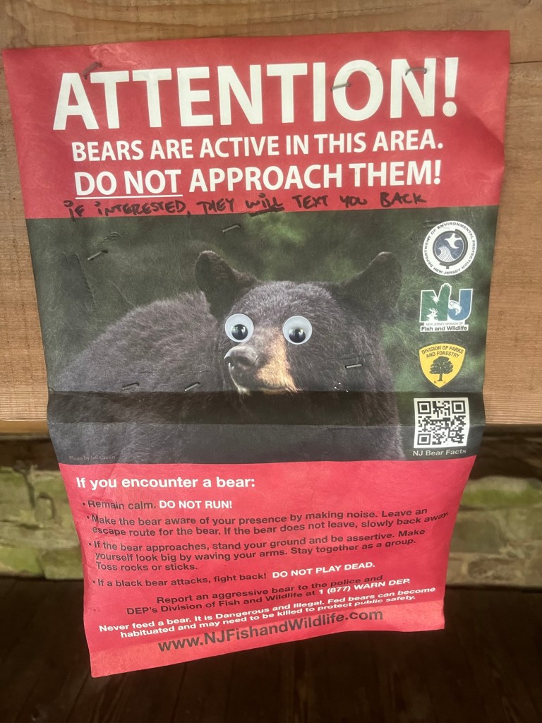
Our journey began at the Michigan/Wisconsin border, making our hike a westbound trek (WeBo for short?). Matt’s wife, Buffy, was kind enough to take the time to drive us from Hayward to the border, so a major shoutout to her for being our first trail angel! On the way, we realized that Matt had forgotten his tent stakes. This would be the first tent stake mess-up of the trip (more later…). After picking up some oversized nails at the general store in Mellon, Buffy dropped us off at the MI/WI border in the only rain that we’d see for the entirety of our hike. With that, we were off!

The zero mile mark!

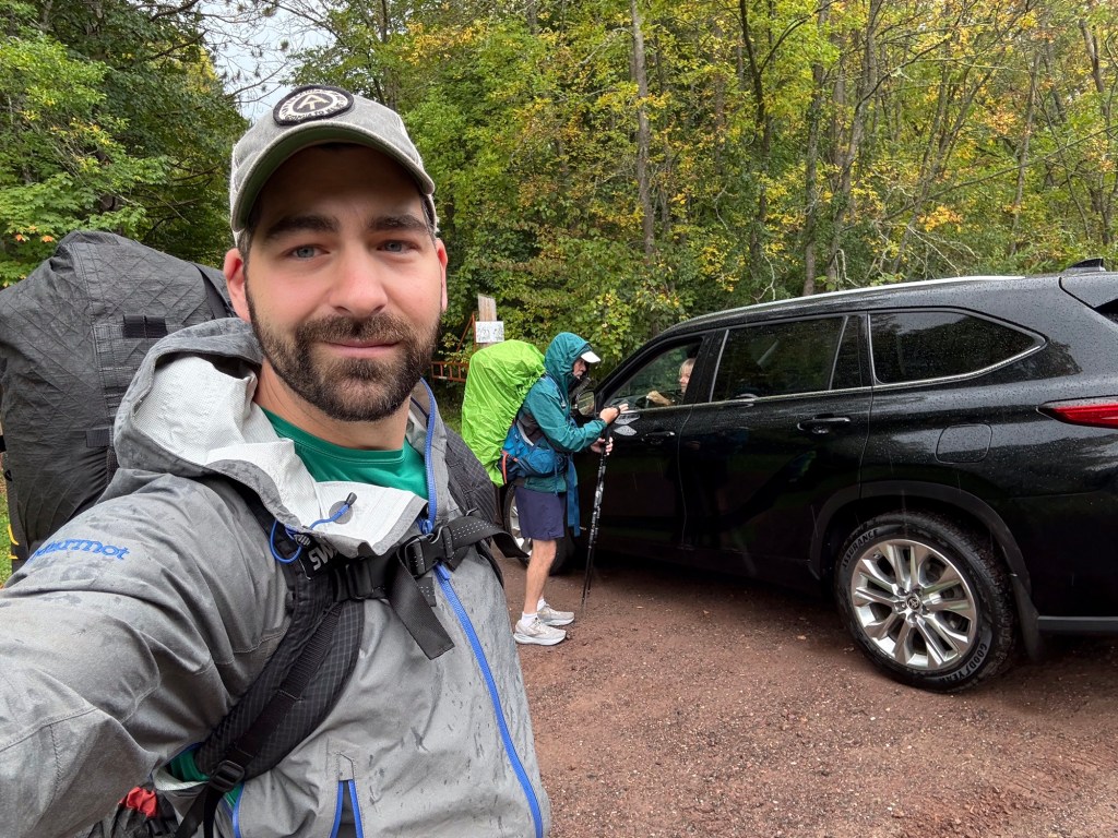
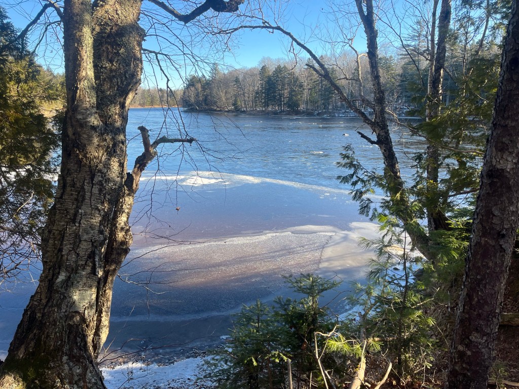
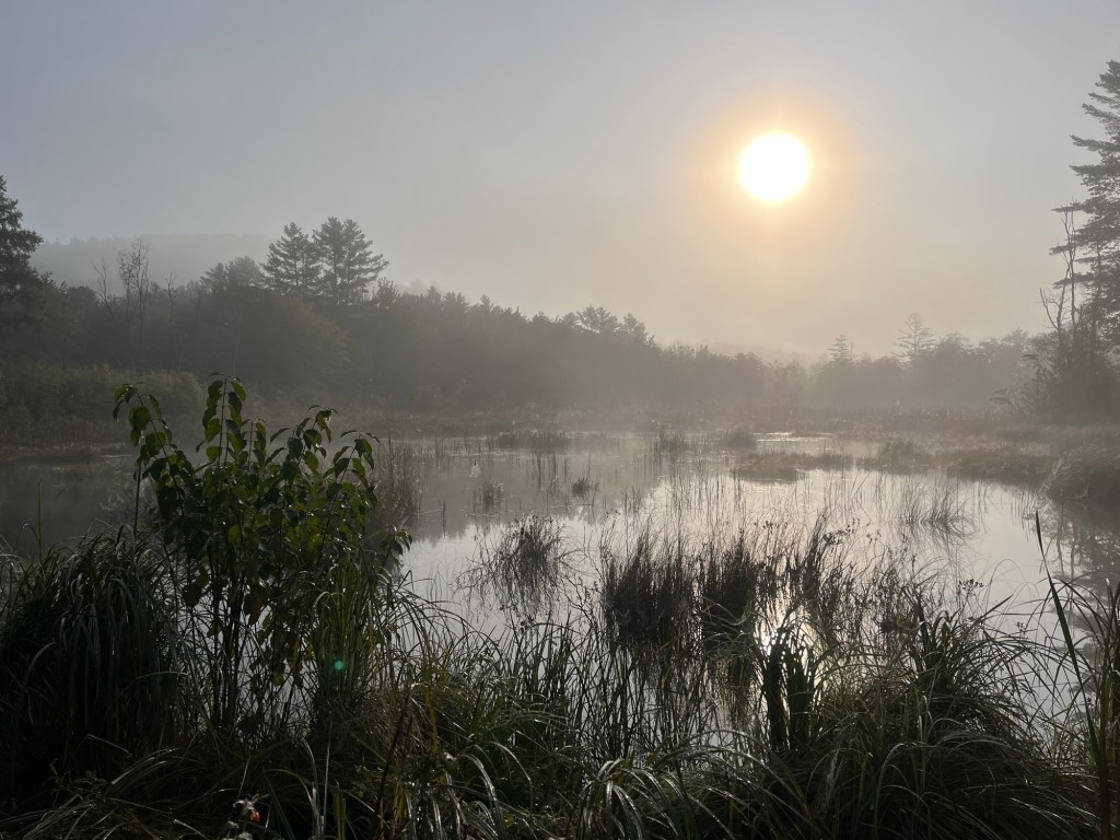
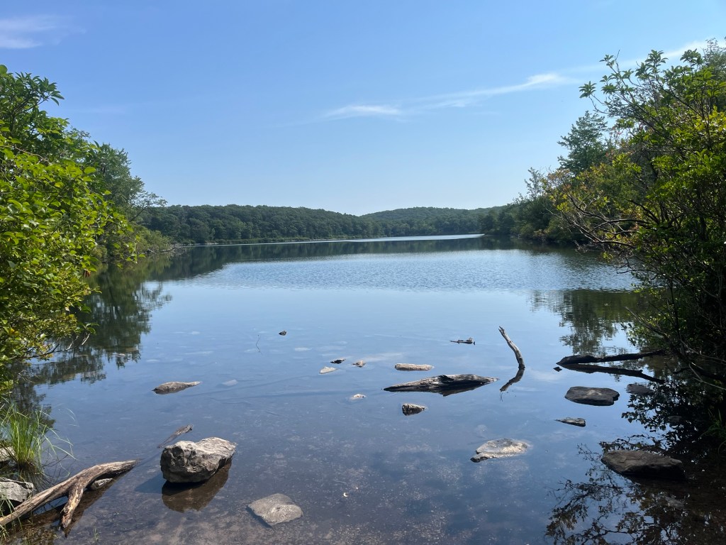
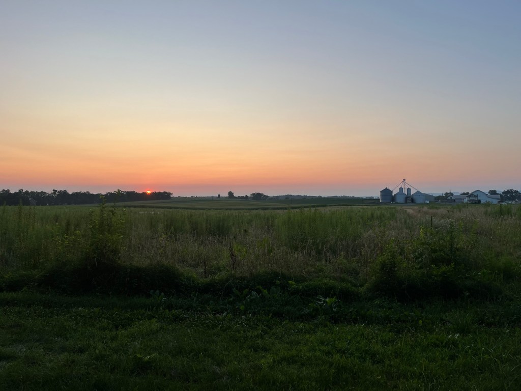
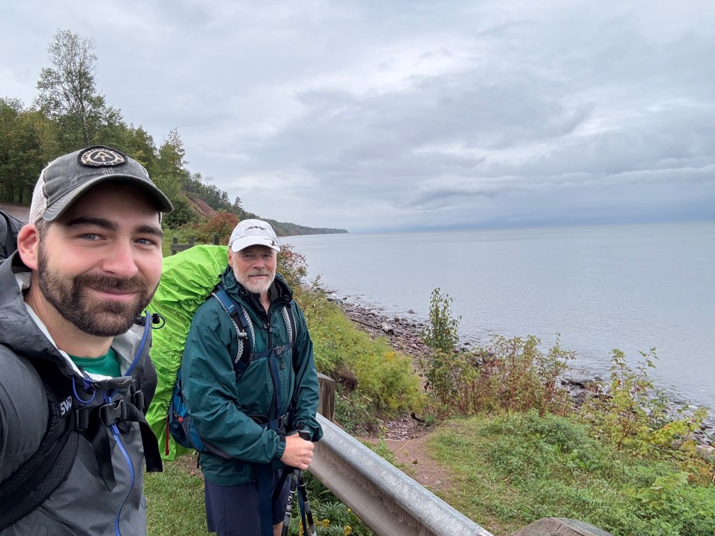
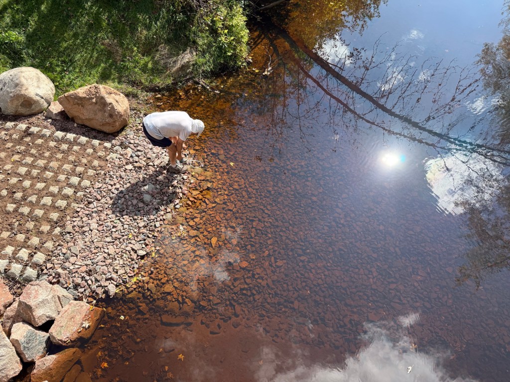
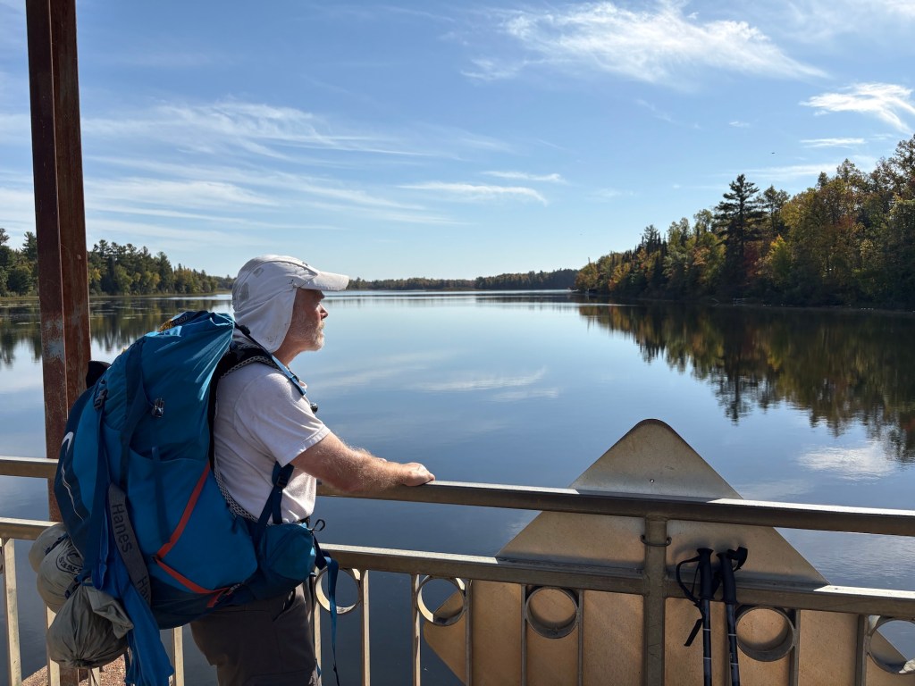
This really was the only rain we’d see the entire hike. Somehow, we were blessed with what can only be described as perfect weather for this trip. Each day had about 70 F for a high, 40’s-50’s for lows, partly cloudy or sunny, and dry. After our first half hour of hiking, the rain quit while we took a quick adjustment break at a marina on Lake Superior (the only time we’d see the lake).

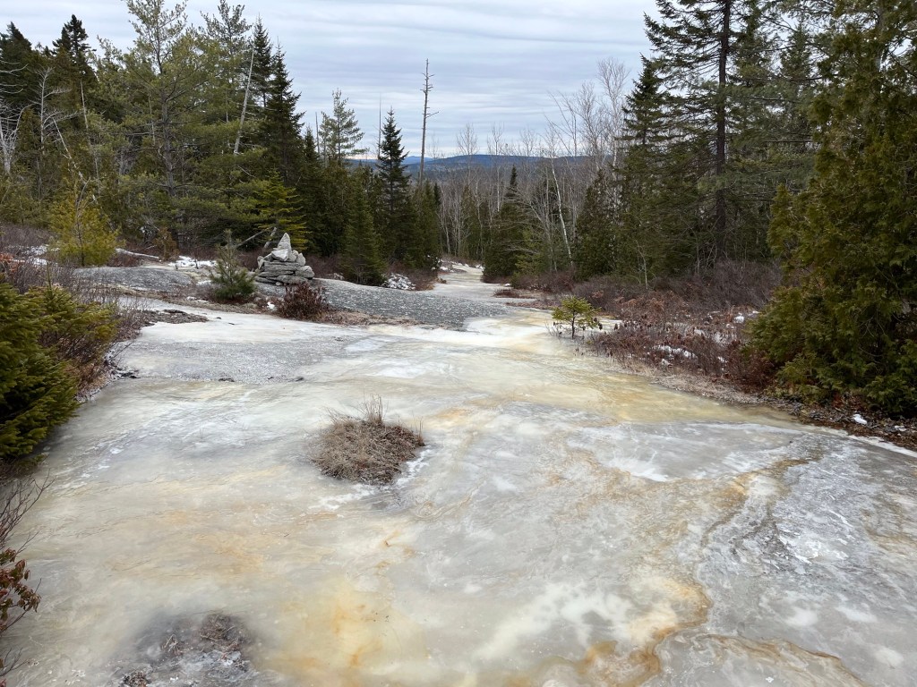
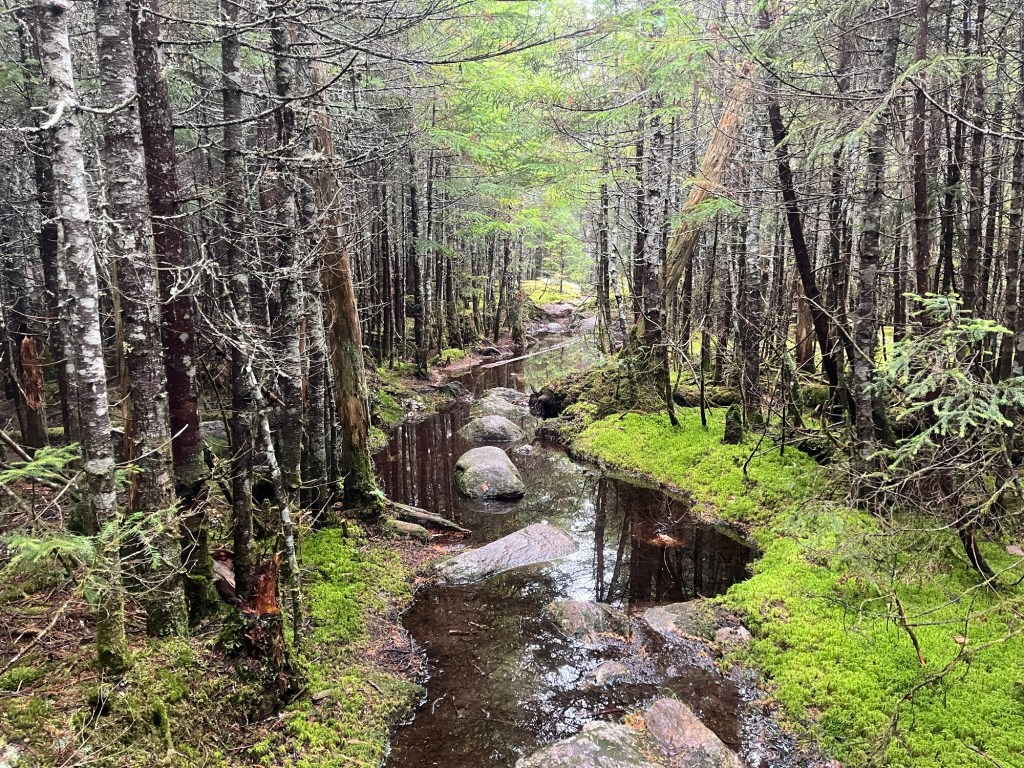
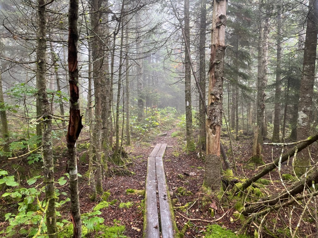
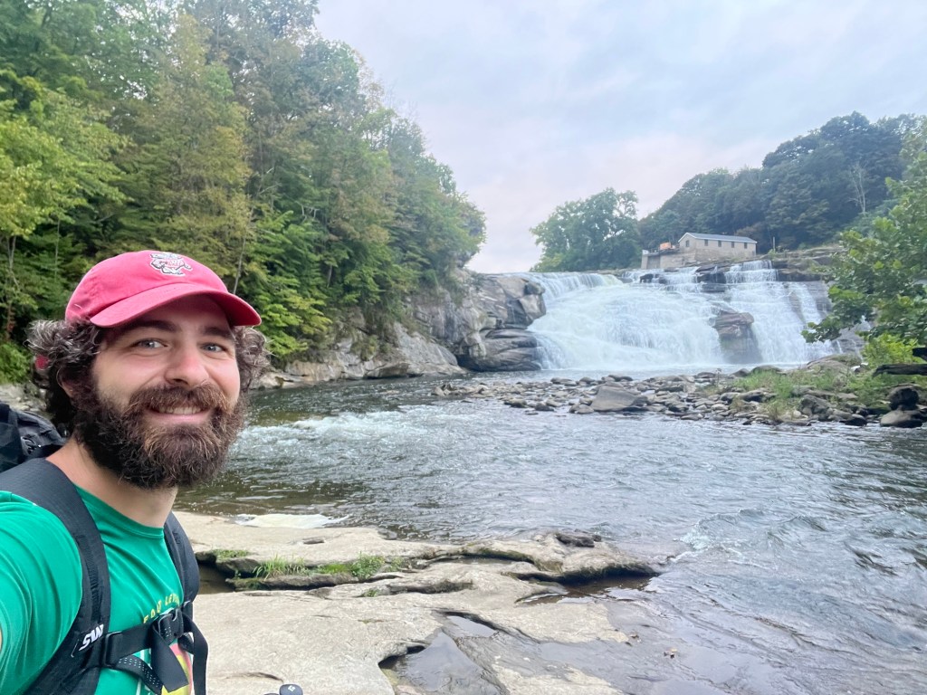
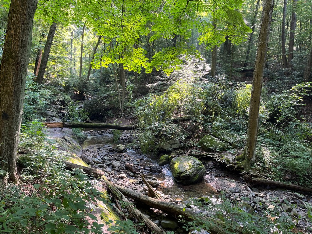
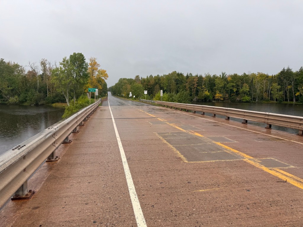
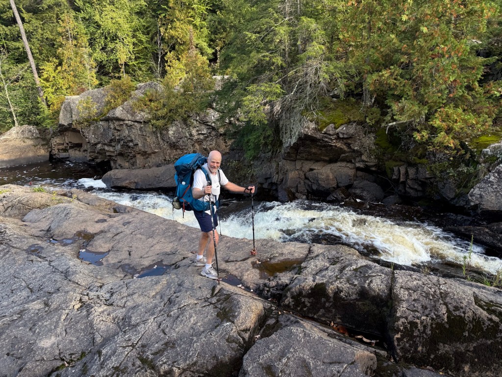
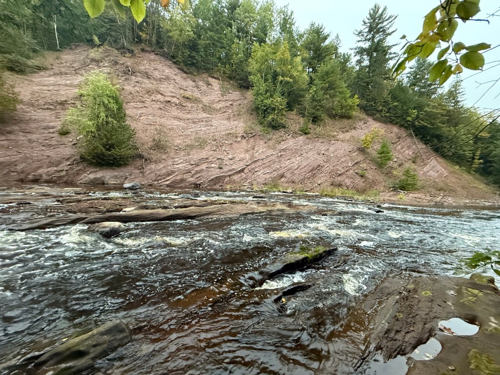
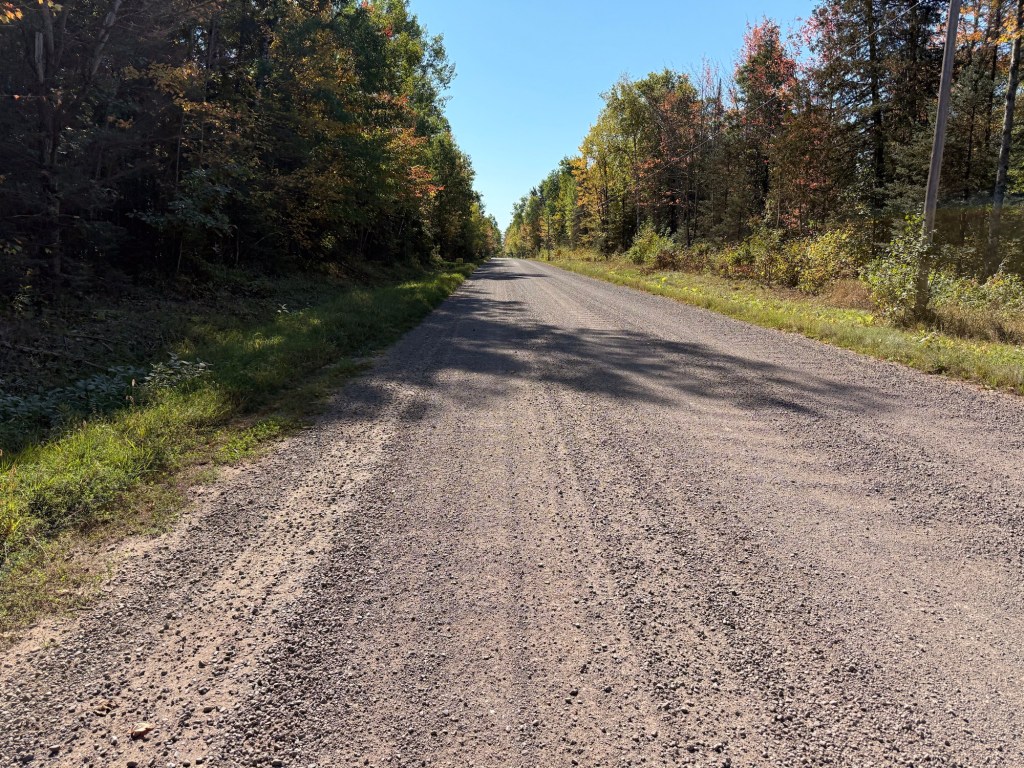
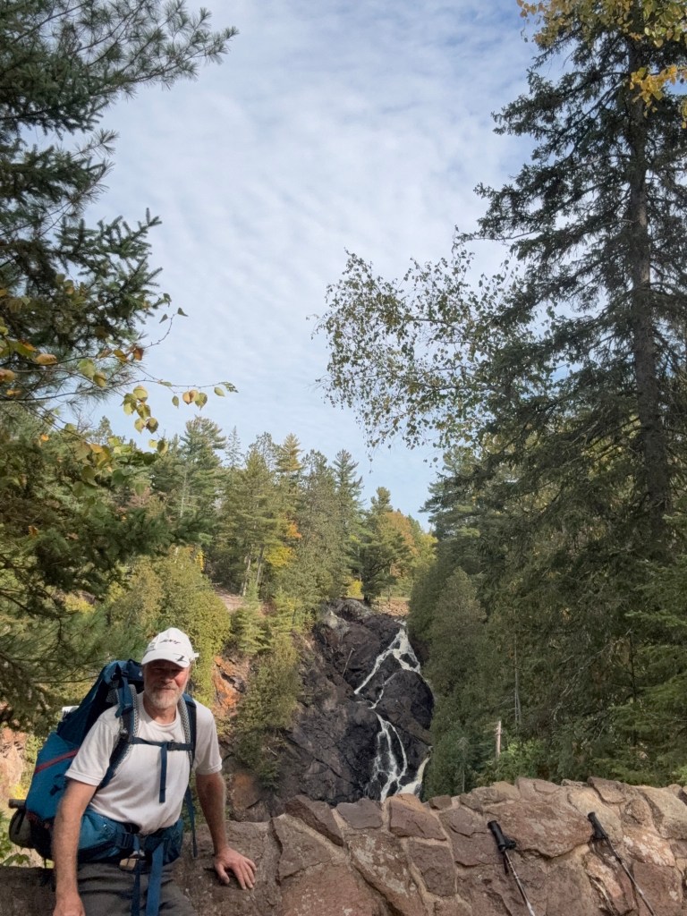
One important thing to note about the NCT is that it’s not 100% trail; some of it is still routed over road. In Wisconsin, the areas near the MI and MN border in particular have some lengthy stretches of road-walking. Our first day ‘on trail’ had us walk about 15 miles of road; some paved, and some dirt logging road. The last 3-ish miles, though, were actually newly constructed trail along the Tyler Forks River, which offered surprise waterfall scenery and brand spankin’ new campsites. We camped our first night at Tilted Gabbro campsite.

Day 2: Rolling on Fumes into Sandstone Ledges (19.5 miles)

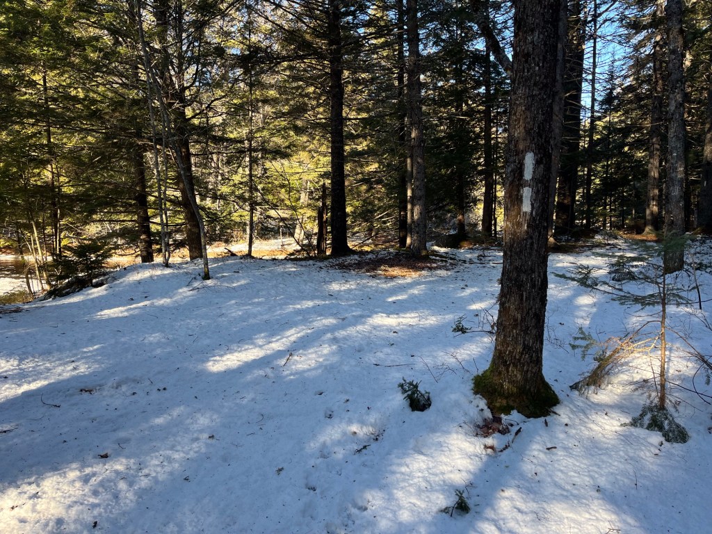
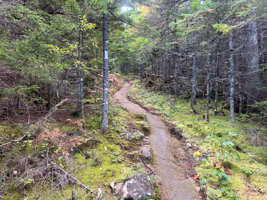
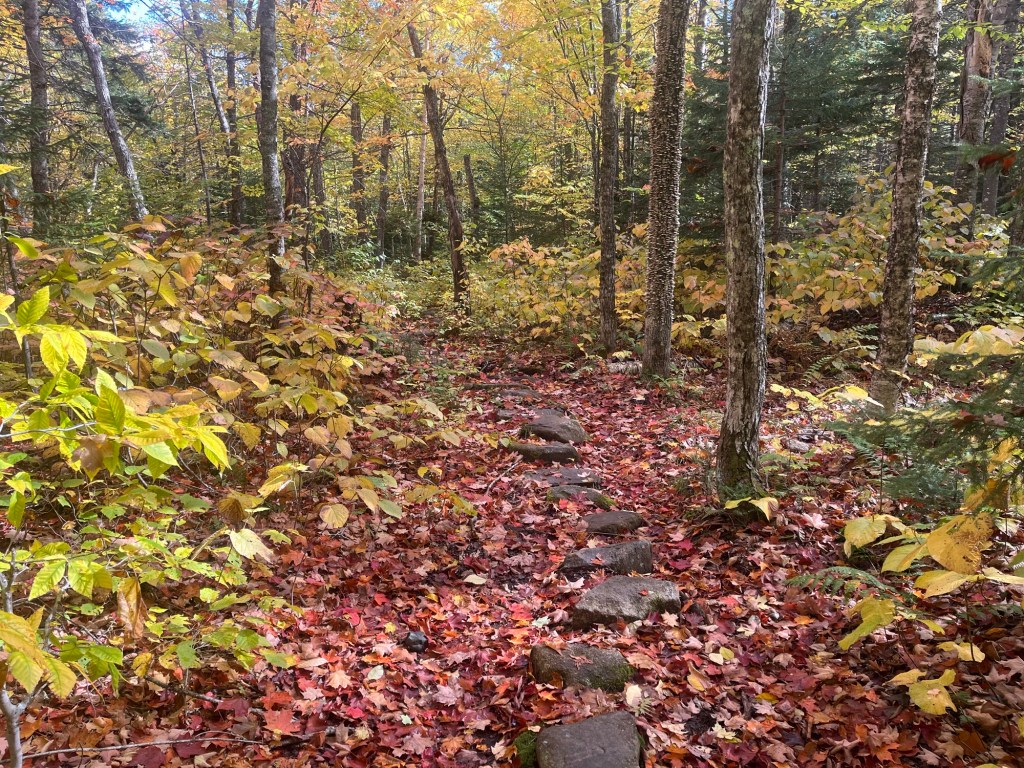
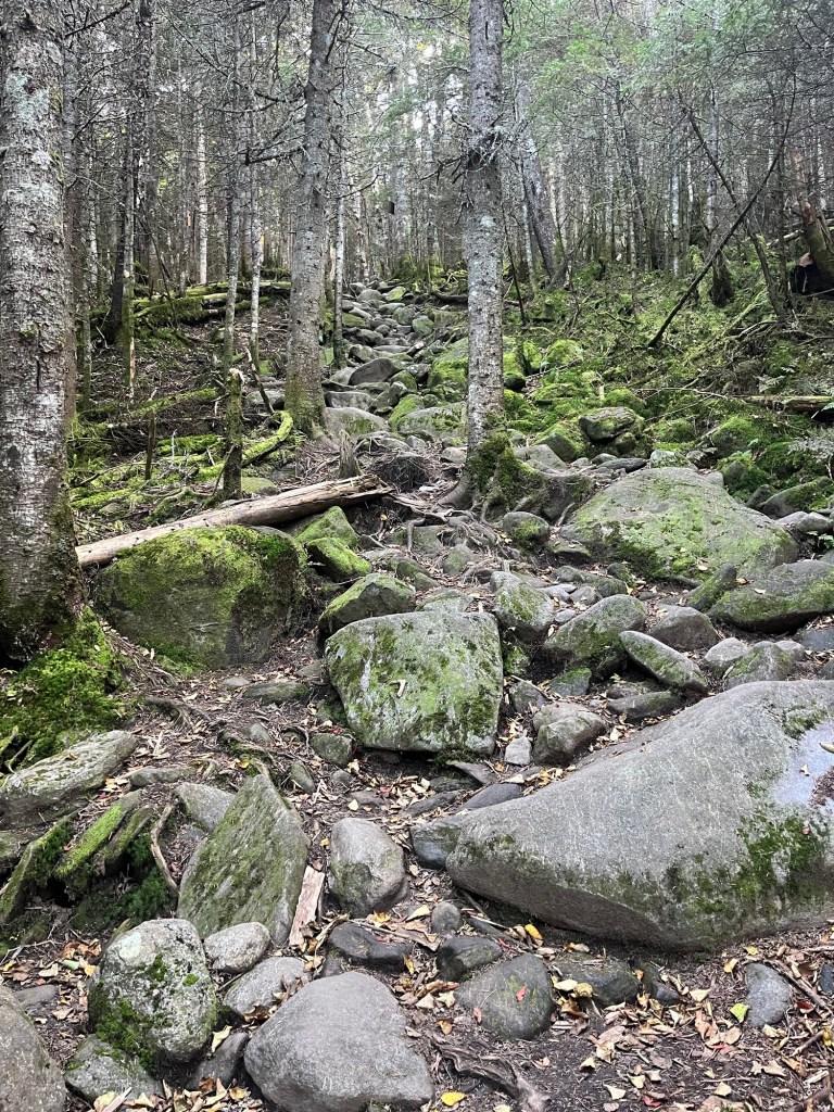
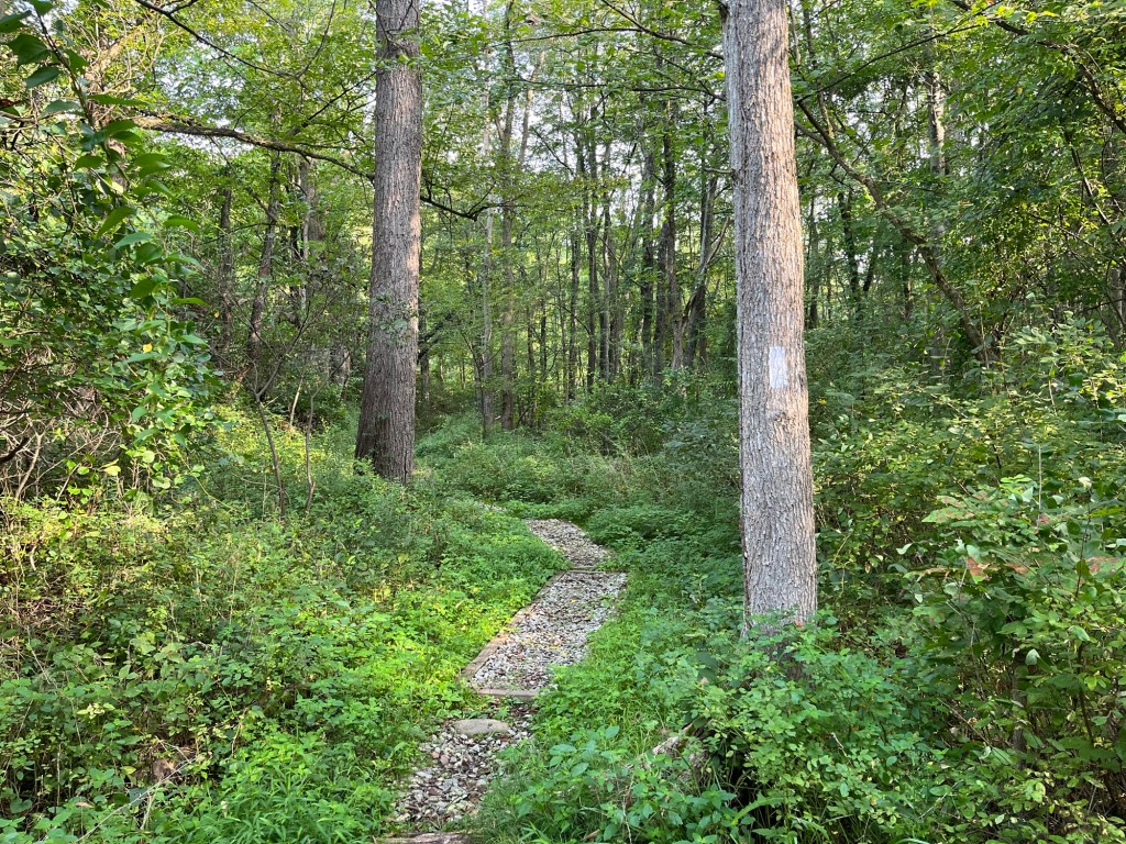
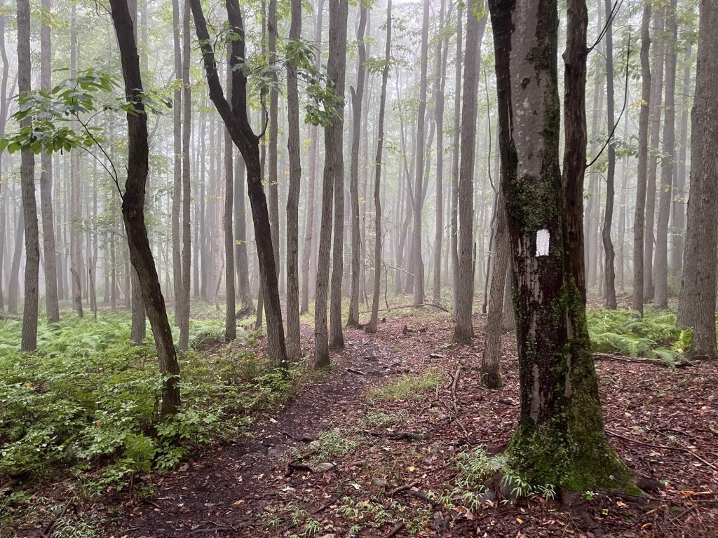
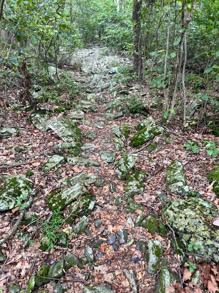
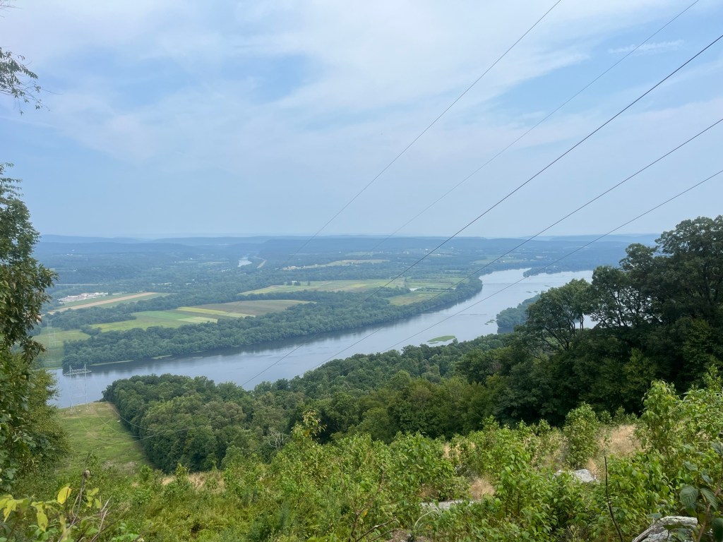
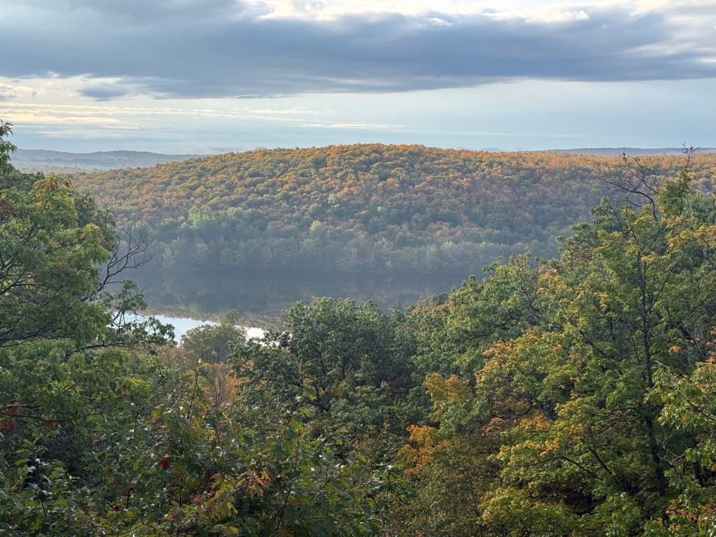
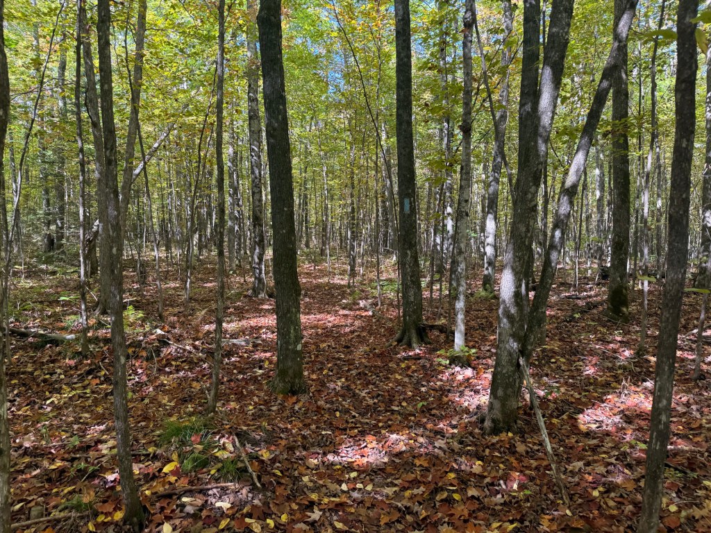
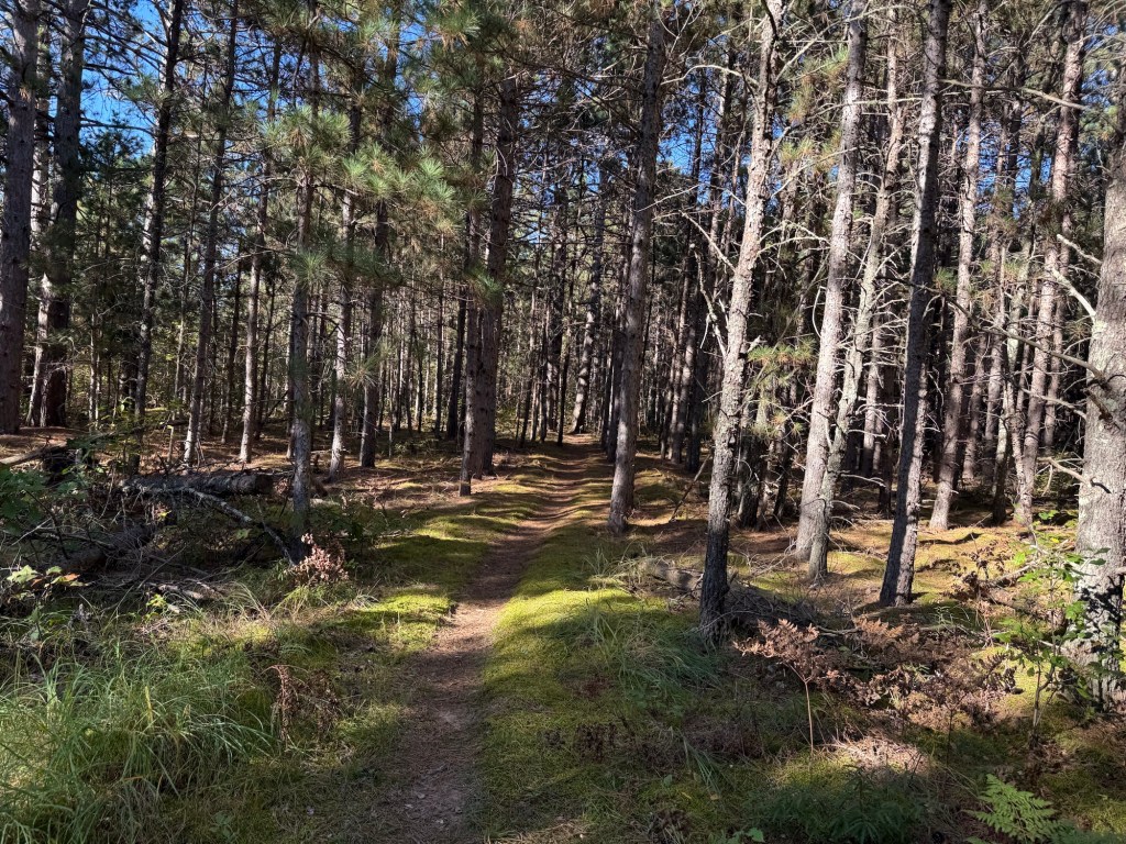
Our second day on trail would have us entirely on trail, fully immersed in the dense woods. I found the winding dirt pathway of the trail to be much nicer than plodding along on blacktop. Beginning the day with a steep climb away from the river, we were treated to a great view that showed us that fall colors were only just beginning to show. Another highlight was the site of an abandoned gold mine. I later learned that this mine was active in 1901, and reached a depth of 130 feet. Now, it’s just a collection of old pits, dump piles of junk rock, and some discarded equipment. Definitely neat, though!

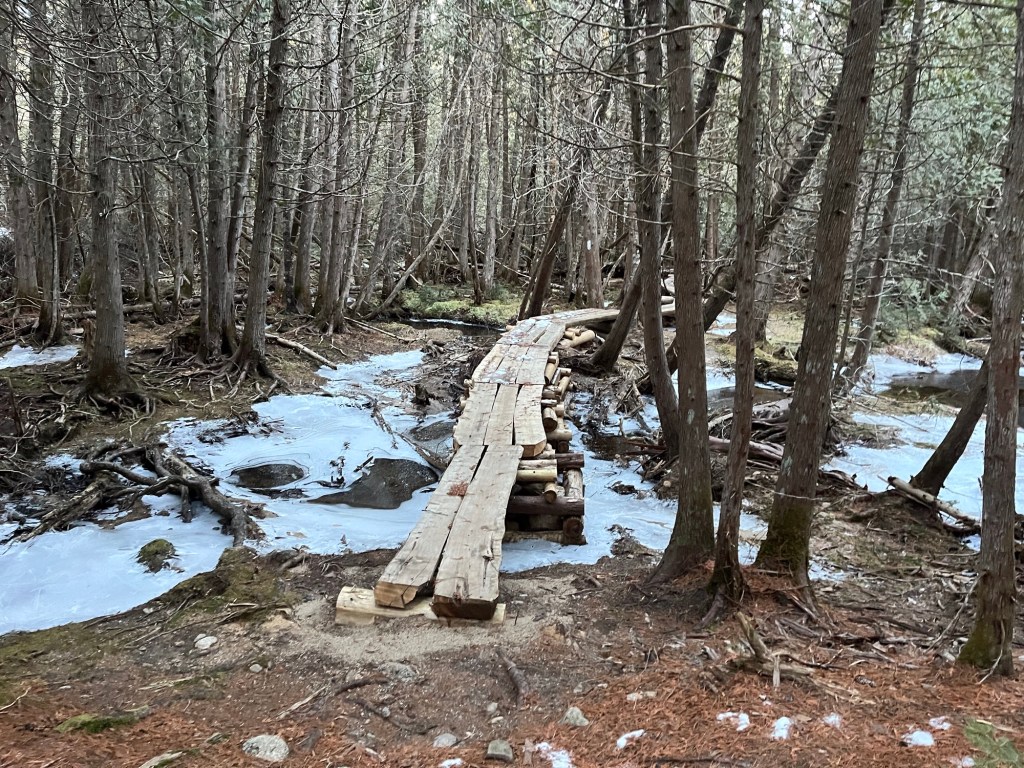
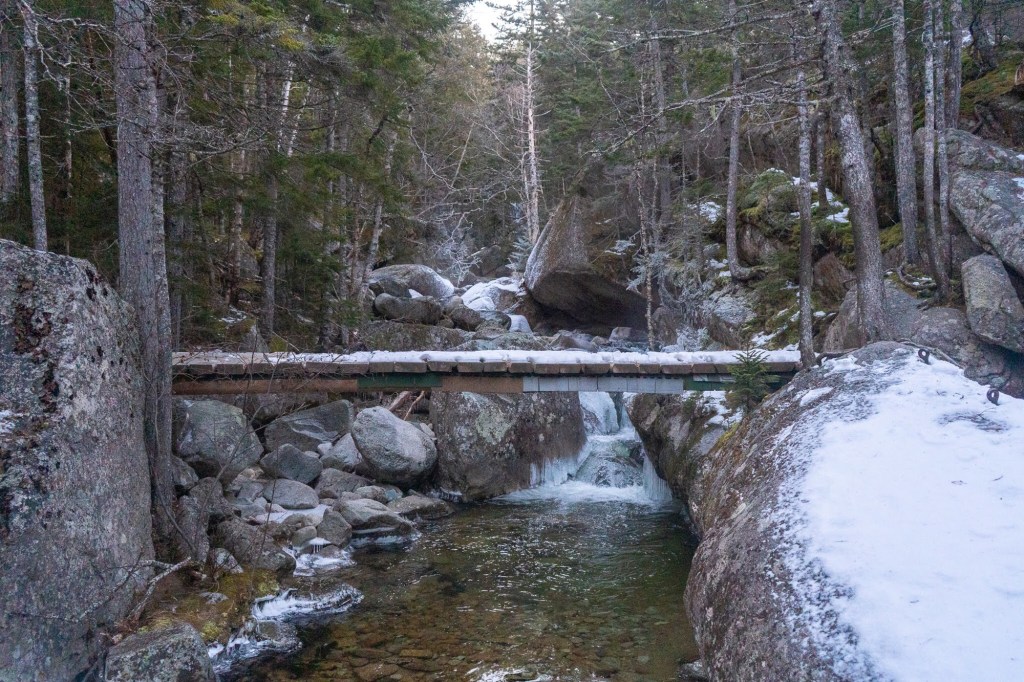
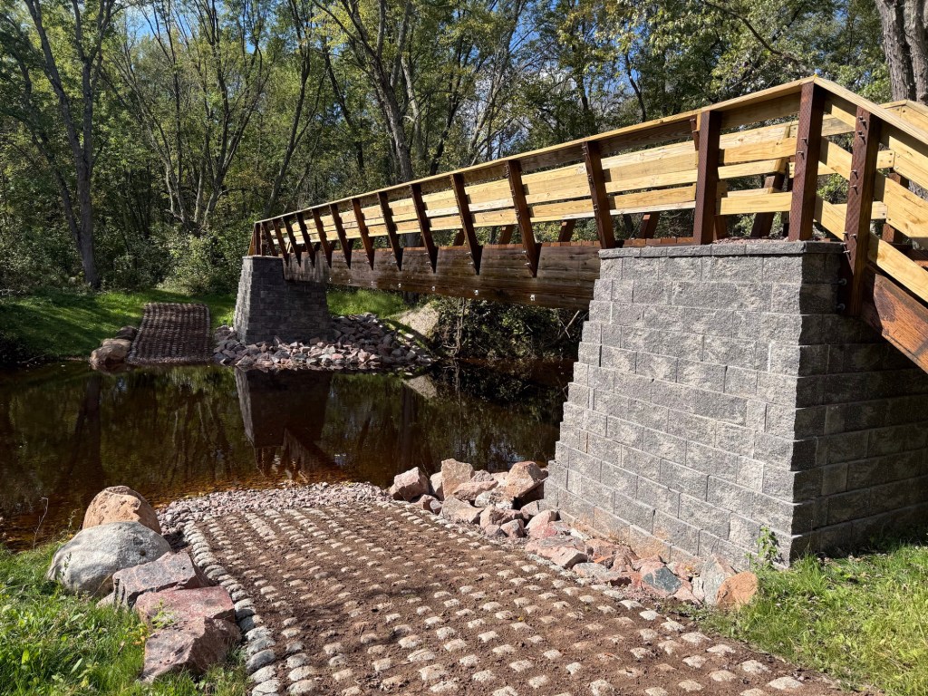
You might think that autumn in Wisconsin would be a busy time on trail, as the temperatures were perfect for hiking, and the bugs were virtually nonexistent, but we really didn’t see many folks out there. We did cross paths with a couple of ladies that volunteer with the NCT, who informed us that we’d soon be crossing a newly-constructed bridge; a mighty construction that did not disappoint.

I must say, it took me a little bit of time to get used to hiking with somebody. On the AT, I hiked with others in the sense that I met up with them at the end of the day, but I almost never actively hiked during the day with those folks. During this hike, Matt and I spent the majority of our time hiking together. It was great having somebody to converse with. Matt is a great storyteller, and seemed never to be at a loss for some topical anecdote or something humorous or educational to add. He was very fun to hike with.

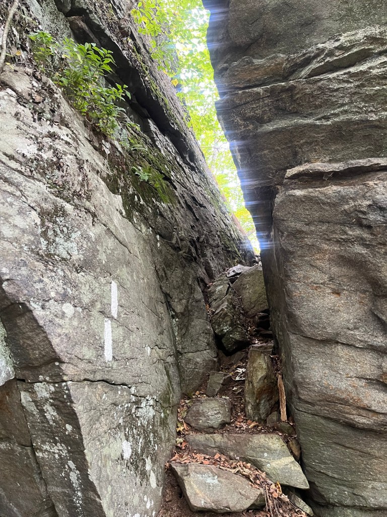
Pacing, though, was something we sort of had to feel out over the first few days. Left to my own devices, my hiking pace tends toward 3 – 3.5 mph with limited breaks, usually a mid-morning, a lunch, and a mid-afternoon break. When hiking together, though, individual styles need to be compromised. Matt is a touch older than I am, and tended to hike a bit slower, and perhaps not as far as I would have done solo. That’s not to say that he is not a strong hiker, though. I was really impressed with how well he jumped in and adapted to backpacking, and certainly think he could outpace most folks. At the end of that second day, though, he was a little bit worse for wear as we finished our 19.5 miles at Sandstone Ledges campsite at the north end of Copper Falls State Park.

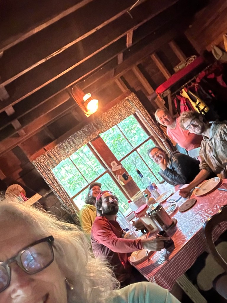
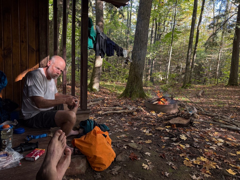
When we arrived at Sandstone Ledges, I figured nobody would be there. After all, we’d seen virtually nobody our entire time out. To our surprise, though, there was a solo woman named Teresa that had the site reserved. She turned out to be very kind, though, and allowed us to share the camp. She is a ‘weekend warrior’ hiker, but has aspirations to thru hike someday, so she and I had plenty to chat about. Matt took a quick dip in the river, hung up some clothes to dry, and he and I played cribbage to close out the night, as would become our usual custom pretty much every night.

Day 3: Copper Falls, our first Trail Town, and Penokee Ski Trail Shelter (12.7 miles)

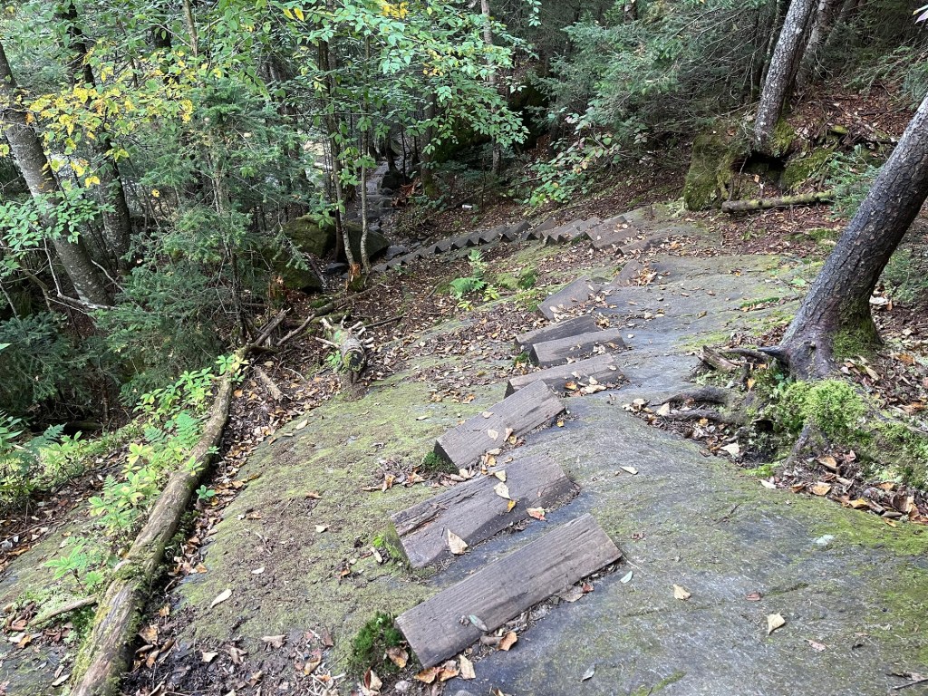
Having done some pretty high-mileage days from the outset, we elected to do a shorter day for our third day. The plan was to hike through Copper Falls state park, stop for lunch and resupply in Mellon, and then hike on the Penokee Ski Trail shelter for a shorter day. This entailed first crawling out of the hole that Sandstone Ledges camp is situated in (seriously, it’s deep out of the way of the trail). For those of y’all that haven’t visited Copper Falls, it’s a fantastic park with trails of varying difficulty, and makes for a great day trip if you’re in northern WI. We saw more folks here than anywhere we had on trail up to that point.

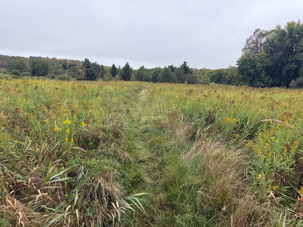
After leaving the park, a large, low-lying meadow separates you from the first trail town of WI – Mellen. I’d be remiss if I didn’t say this stretch of trail was one of the lousiest sections of trail so far. It’s probably an issue inherent to any meadow-y section, but you’re almost guaranteed to get your feet soaked as you high-step it through the tall grass here. We were both relieved to escape from the snarl of tall grass and enter into a boardwalk section north of Mellen.

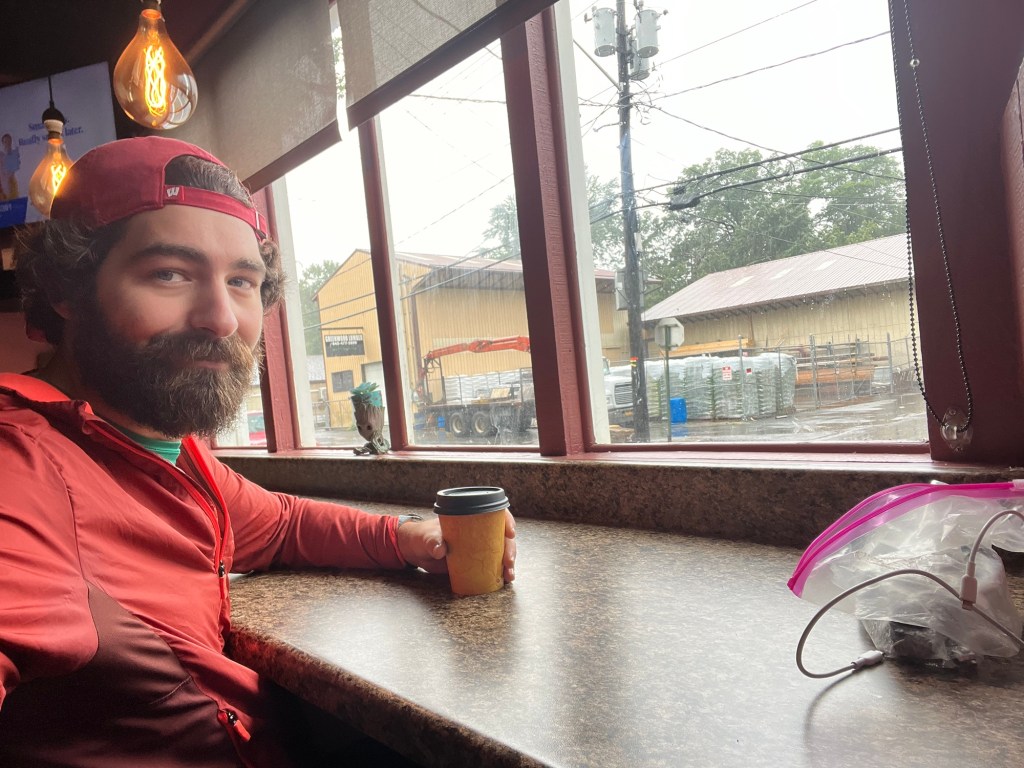
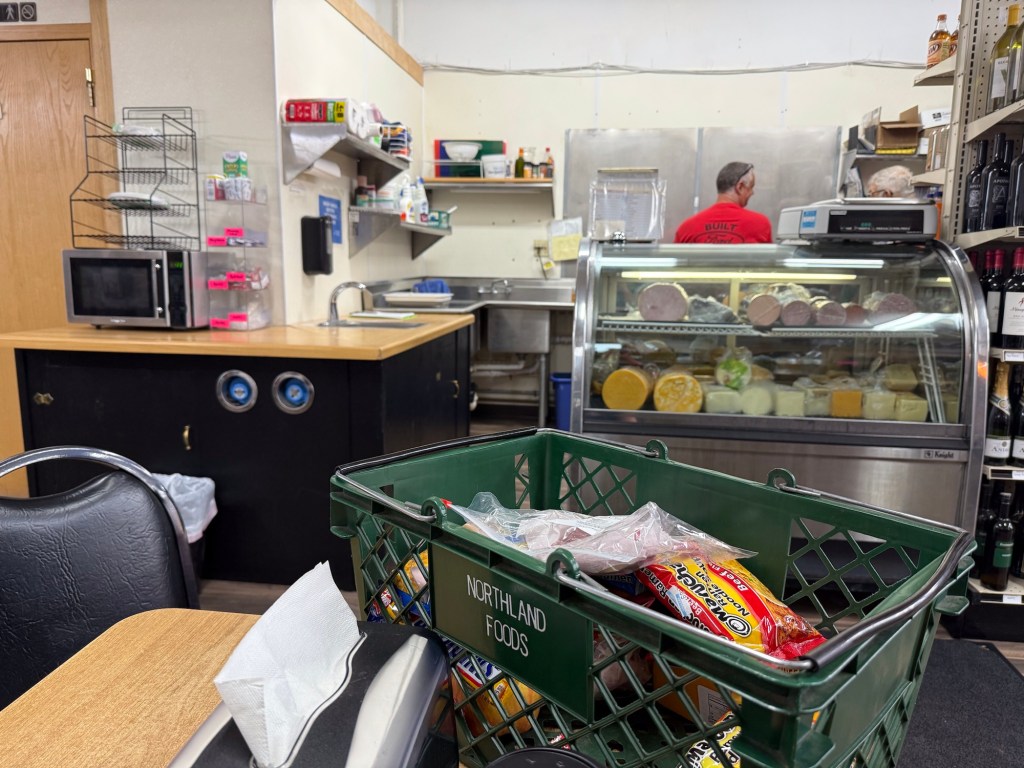
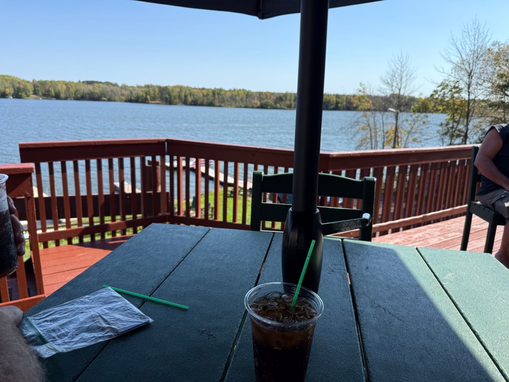
Unfortunately for us, there were no restaurants open at the time and day that we arrived. Instead, we treated ourselves to some fresh-sliced deli meats for sandwiches at Northland Foods. For such a small town, this little grocery store had plenty of options for resupply, albeit a bit pricier than you might find at a larger store. All the same, the staff was very friendly, and let us sit in the store to recharge electronics and sort our resupplies into our bags.

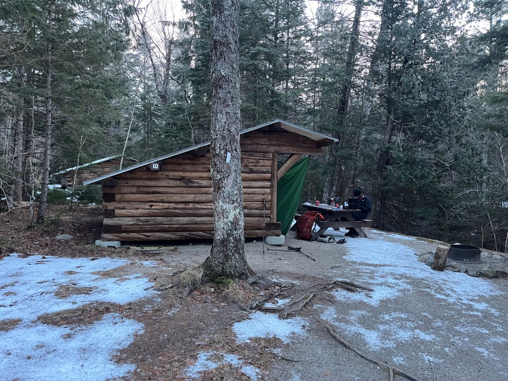
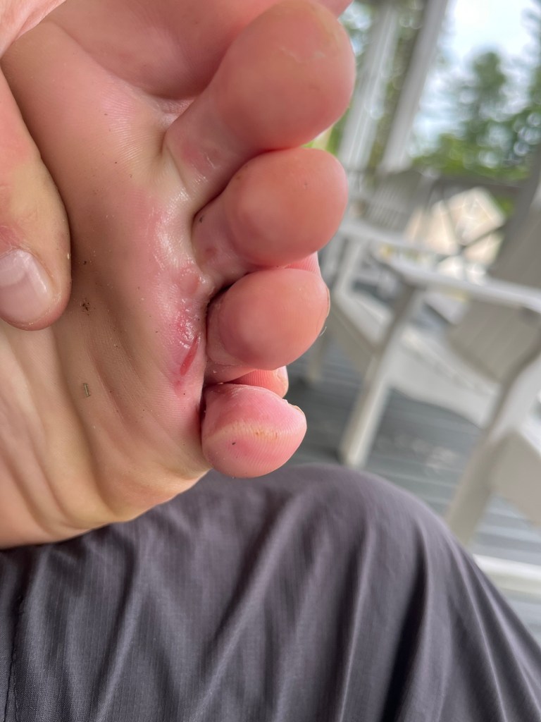
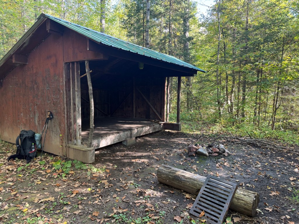
After Matt tended to some blisters, we began a road walk out of Mellen to finish off our day. Eventually, the road became trail again, and soon shared trails with the Penokee ski trail system. To my immense pleasure, the ski trails have a warming hut that can be used as a shelter, and reminded me exactly of an Appalachian Trail shelter. We finished our day here, even though the water source was dried up, and I had very little water to speak of. Matt was kind enough to share his, and we dry camped. Since we ended the day early, we built a fire to enjoy and dry out some of our wet clothes. It turned out to be a very relaxing evening.

Day 4: Shelter-hopping to the Marengo River (16.0 miles)

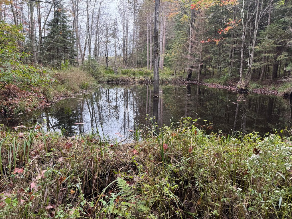
Our fourth day was another beautiful day. The first thing on our agenda was to pack up and head about a mile down trail to Trout Brook campsite, where we could get some water and enjoy breakfast. It was a nice little campsite.

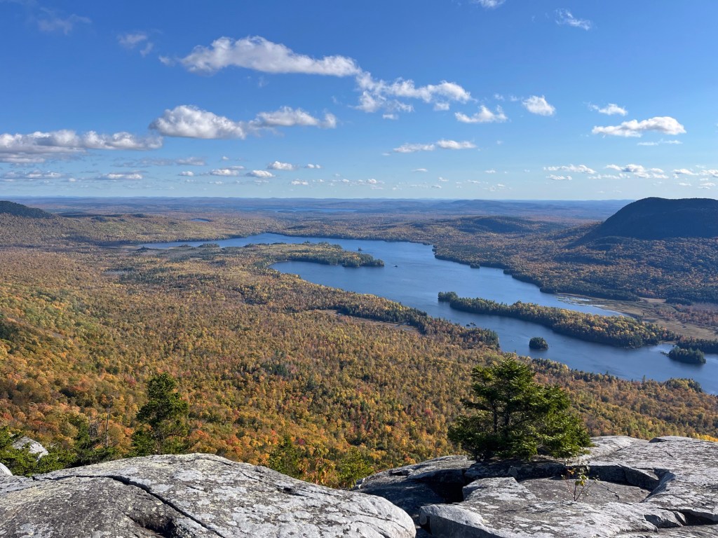
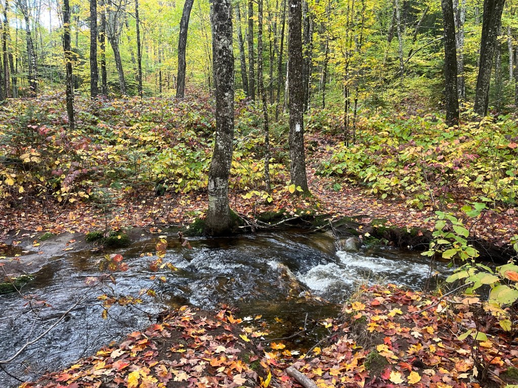
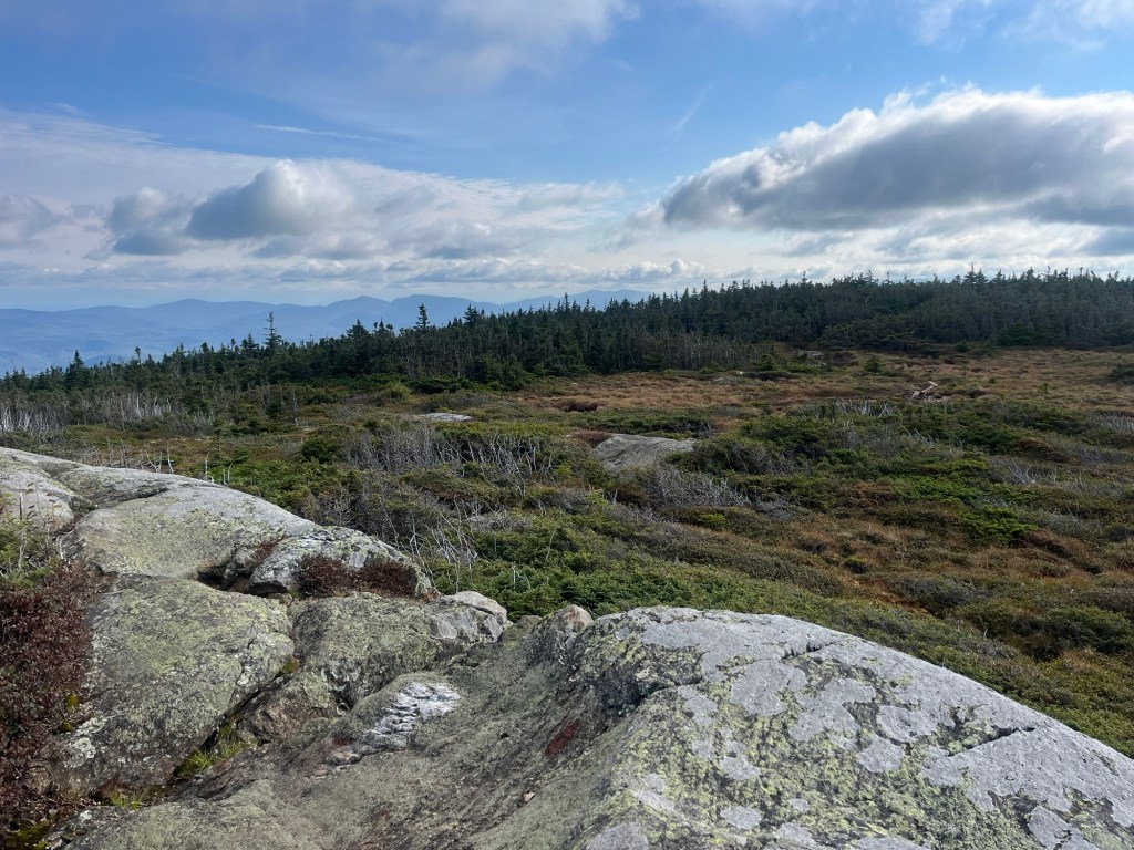
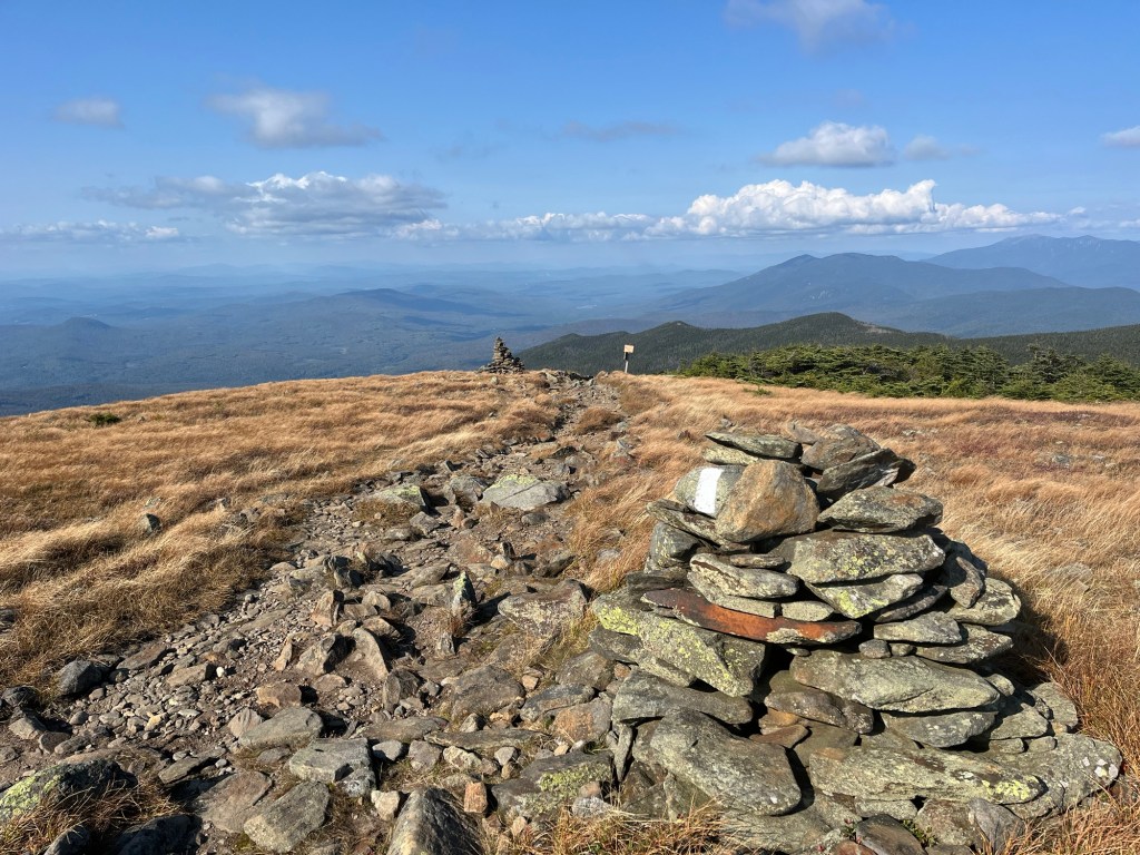
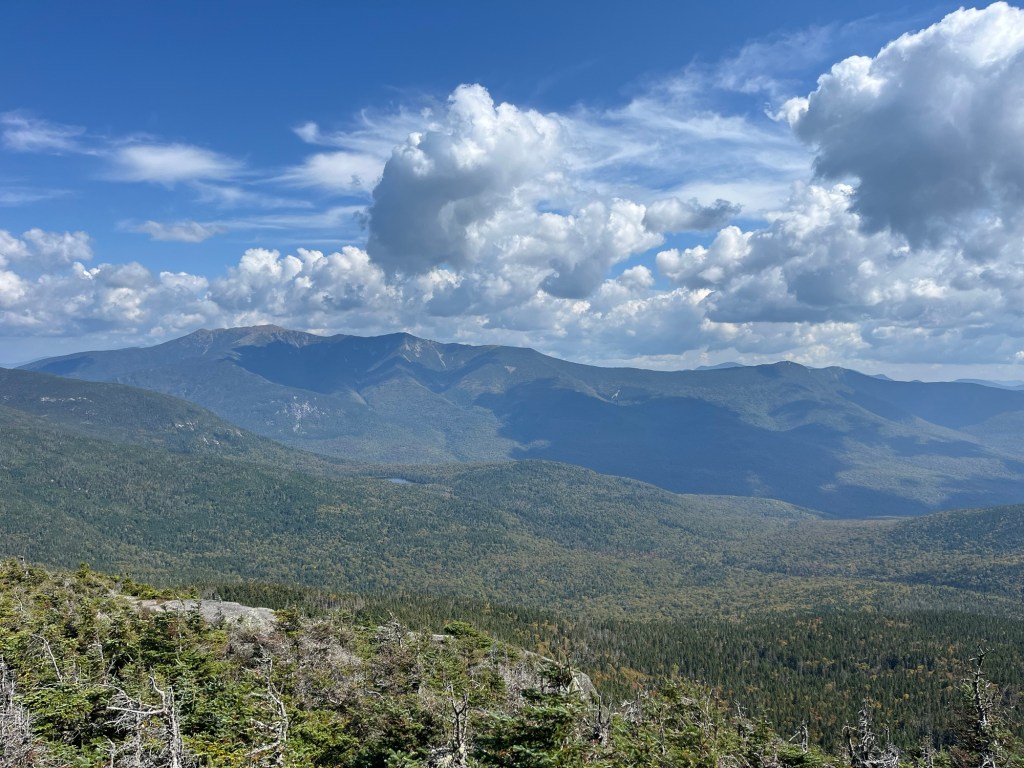
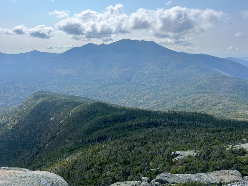
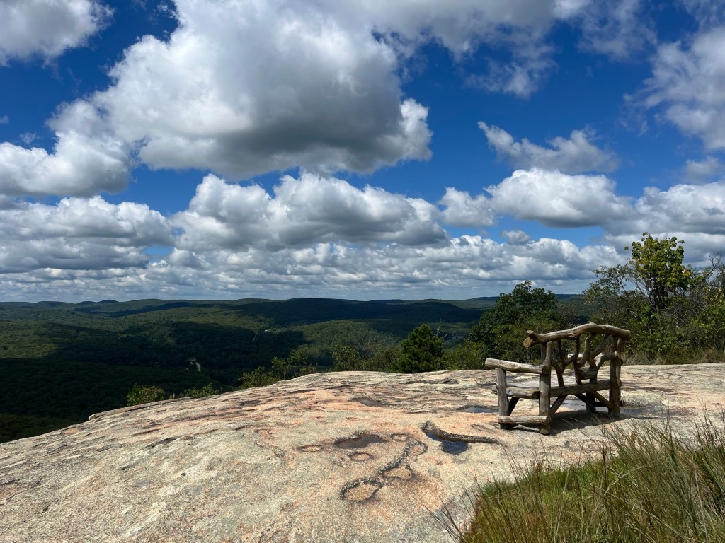
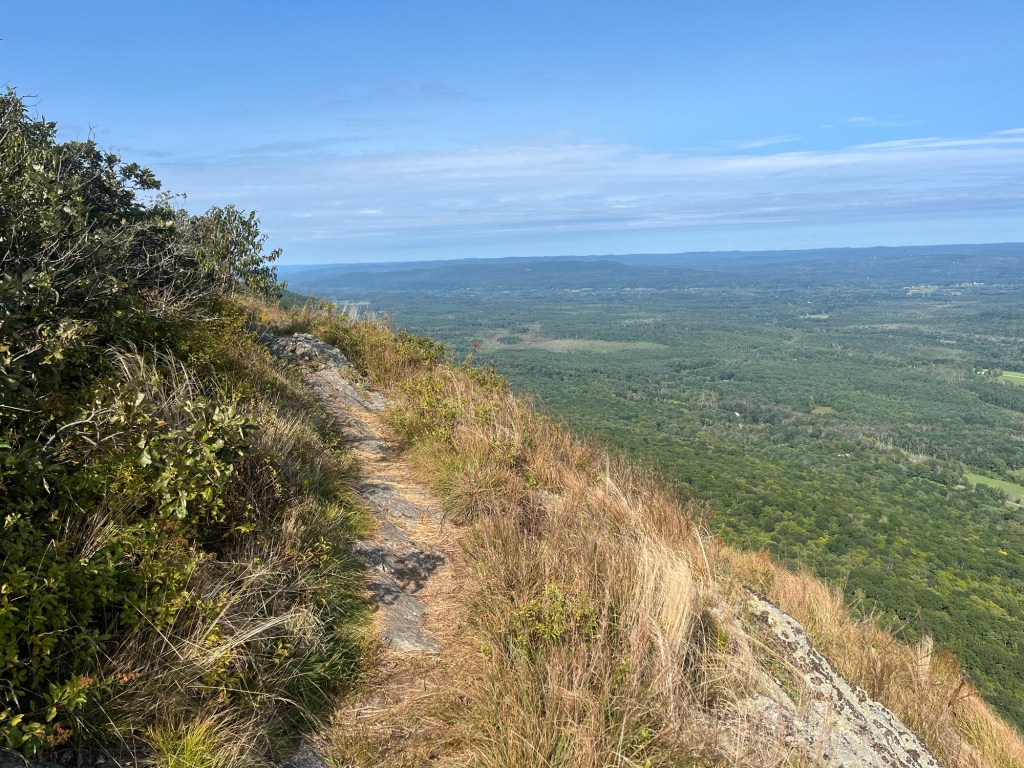
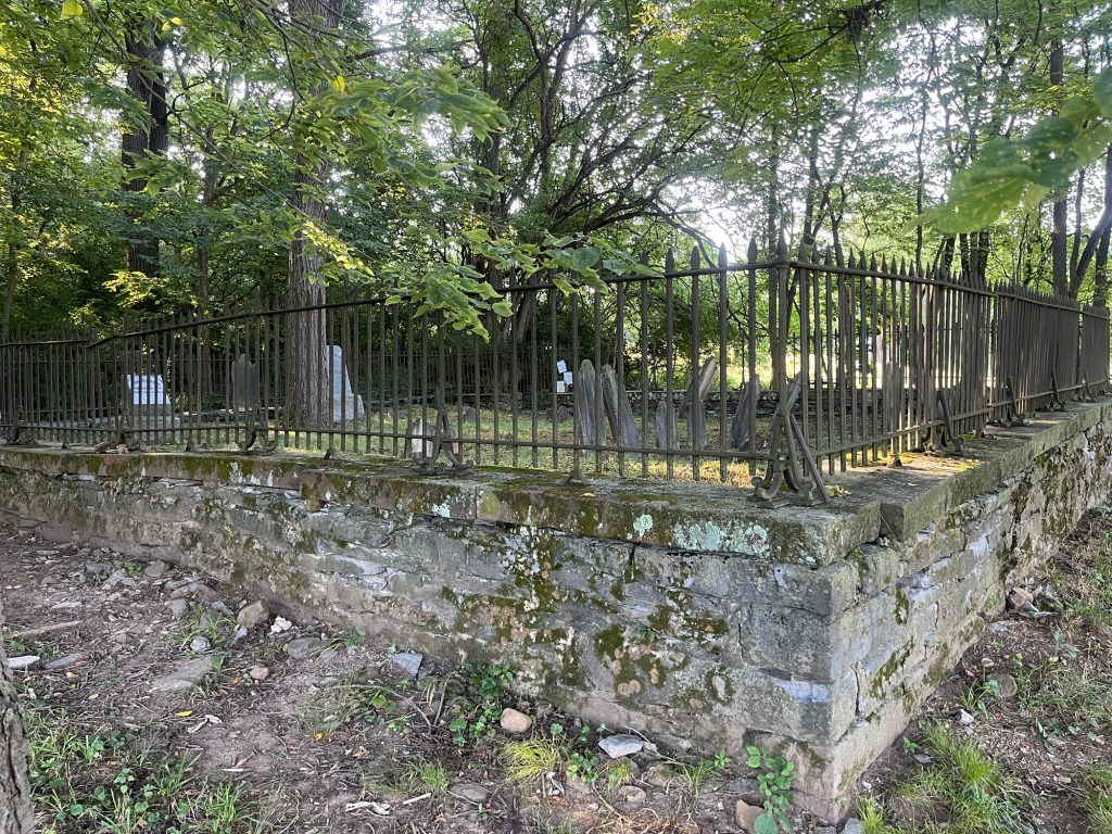
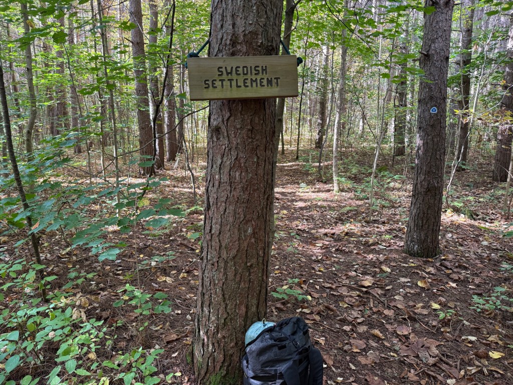
On this day, we played around a bit with hiking apart, but meeting through the day at water sources and other meeting spots. This entailed me hiking ahead, waiting for Matt to catch up, and taking a break. I believe this was the only day we did this before reverting back to hiking as a pair. This stretch of trail had some beautiful overlooks; some of the last we’d see for a bit. I really enjoyed stopping to take in the views, with the first of the fall colors starting to touch the treetops in the river valley. Also in this section there are the remnants of an old Swedish settlement that you can explore. Definitely worth checking out.

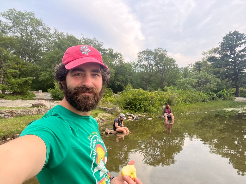
We were lucky enough to be treated to yet another Adirondack-style shelter at the Marengo River. With easy access to the river, I took my first opportunity to wash some clothes and wash myself a bit while I watied for Matt to arrive. It was much needed; the amount of grime I was able to wash out of my socks was almost nauseating.

Day 5: The Big Push to Drummond (22.1 miles)

There had been some discussion on how far to push this fifth day, as we knew that we needed to end up in Drummond at a reasonable time to meet either Buffy or my mom for resupply. Drummond is situated on Highway 63 about 30 miles north of Hayward, so it’s the closest point on the trail to home. After an easy last two days, I thought we could make it the full 22 miles in one shot. We decided to wing it, and see how far the day would bring us.

There was plenty of neat stuff to break up the day, though. We got some final views of the valley, and then plunged into the deep woods of the Chequamegon-Nicolet national forest. On this day, we adopted a new hiking style where Matt took the lead and set the pace, which we kept up for the remainder of the trip. Honestly, he was a great pace-setter, and I think it worked pretty darn well.

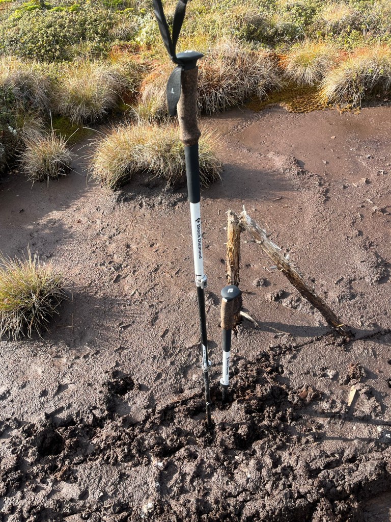
At Porcupine Lake, we took a break while we listened to acorns plunk into the water from an overhanging oak tree. I think it was around here that I realized that after thousands of miles of hiking, I’d finally lost my tent stakes…. I knew exactly where they were likely to be: back at the Sandstone Bluff campsite in Copper Falls. After all, the at was the last time I’d used my tent, as we’d been in shelters the last two nights. It was something I’d have to remedy in Drummond.

We ate lunch at Two Lakes Campground, where they had luxurious running water! From here, we were pretty sure we’d make it the full 22 miles to Drummond. We took one final, mid-afternoon break at the Lake Owen recreation area picnic grounds. Here, as I was the one with the map, I think I’d said we had just 2 miles left, where it was actually 3.5. I didn’t break it to Matt until he became suspicious. That was fine, but the final road walk into the Drummond Lake Campground made Matt a bit sour. It was a long day, so I was more than willing to cut him some slack.

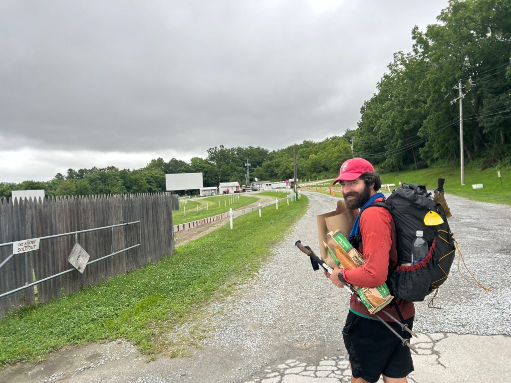
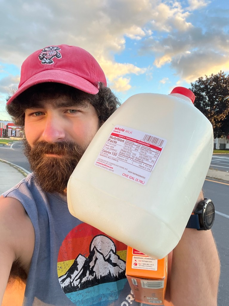
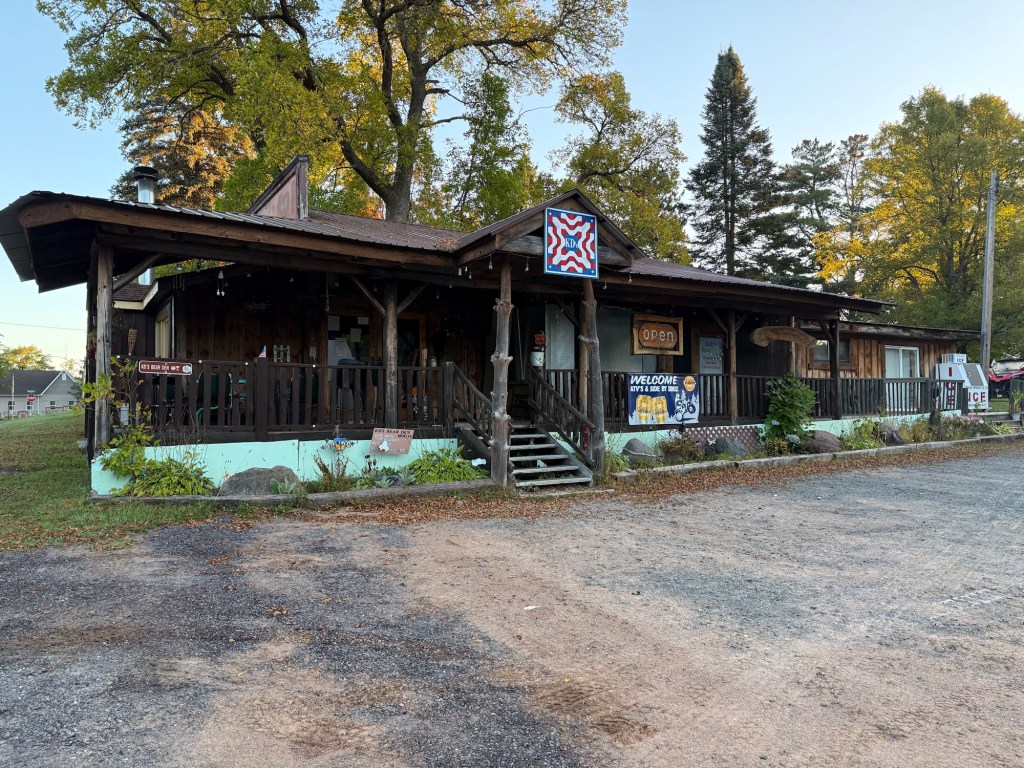
Our night in Drummond was luxurious. The campground has a hot shower that you can pay for with quarters. It took a little bit of convincing, but i was eventually able to buy some quarters from the clerk at the gas station with the promise that I could get him some the next day. Here, I also got some comically oversized tent stakes (plastic yellow ones, I presume for nailing down circus tents), to hold me over until my resupply tomorrow. I got some snack food at the gas station, we washed ourselves and our clothes in the hot, hot showers, and we ate dinner at a local bar (KD’s) while we recharged ourselves and our electronics.

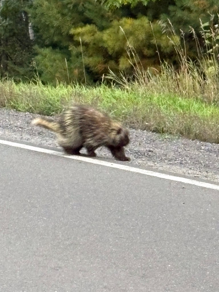
I have one quick aside about bugs in northern Wisconsin at the end of September. We really didn’t have any issues with mosquitoes aside from this one night, and only while setting. Up camp, too. Oddly, they were hellacious just at sundown, but we were able to play a game of cribbage outside after dinner without being accosted at all.

Day 6: Rainbow Lake Wilderness, and the “Waterless” Stretch (20.6 miles)

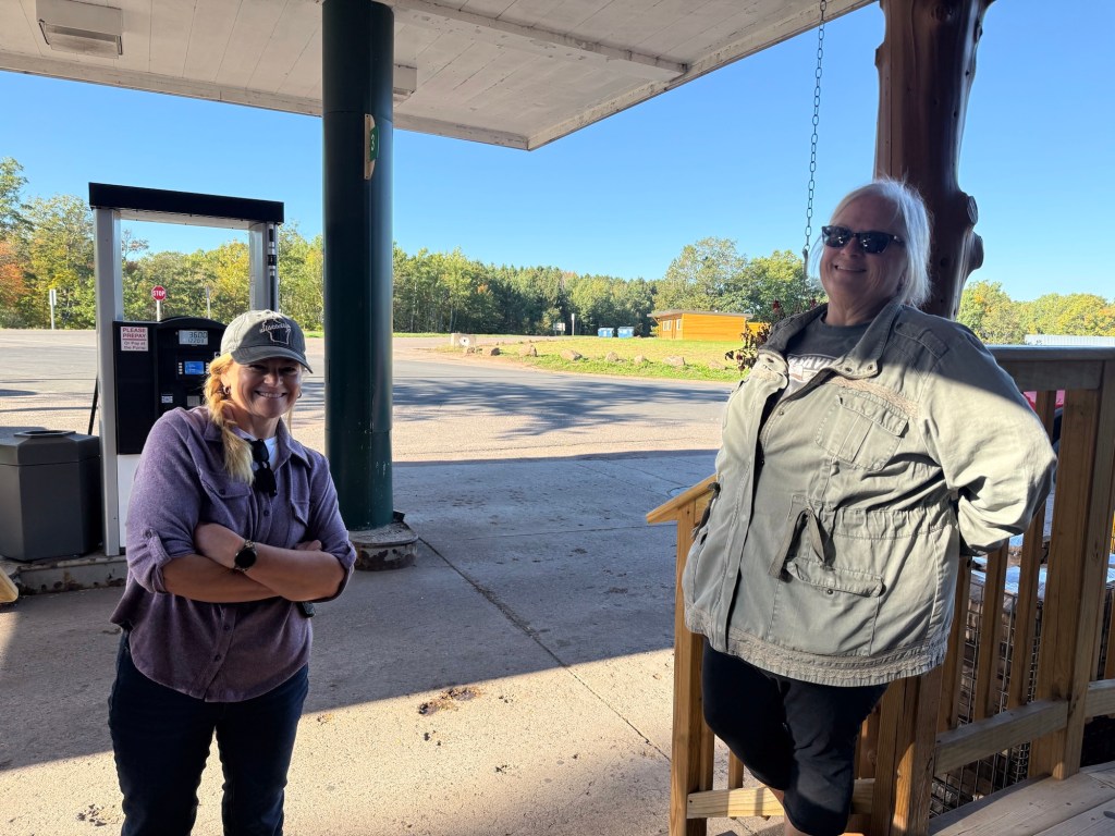
Waking up in Drummond, our first order of business was to resupply. My mom and our friend, Cathy, were kind enough to meet us in Drummond with our resupply boxes, which were full of goods like summer sausage, trail mix, and appropriately-sized tent stakes. We topped off our supplies, grabbed a quick breakfast at the gas station, resupplied them with quarters, and caught a ride back to the trailhead.

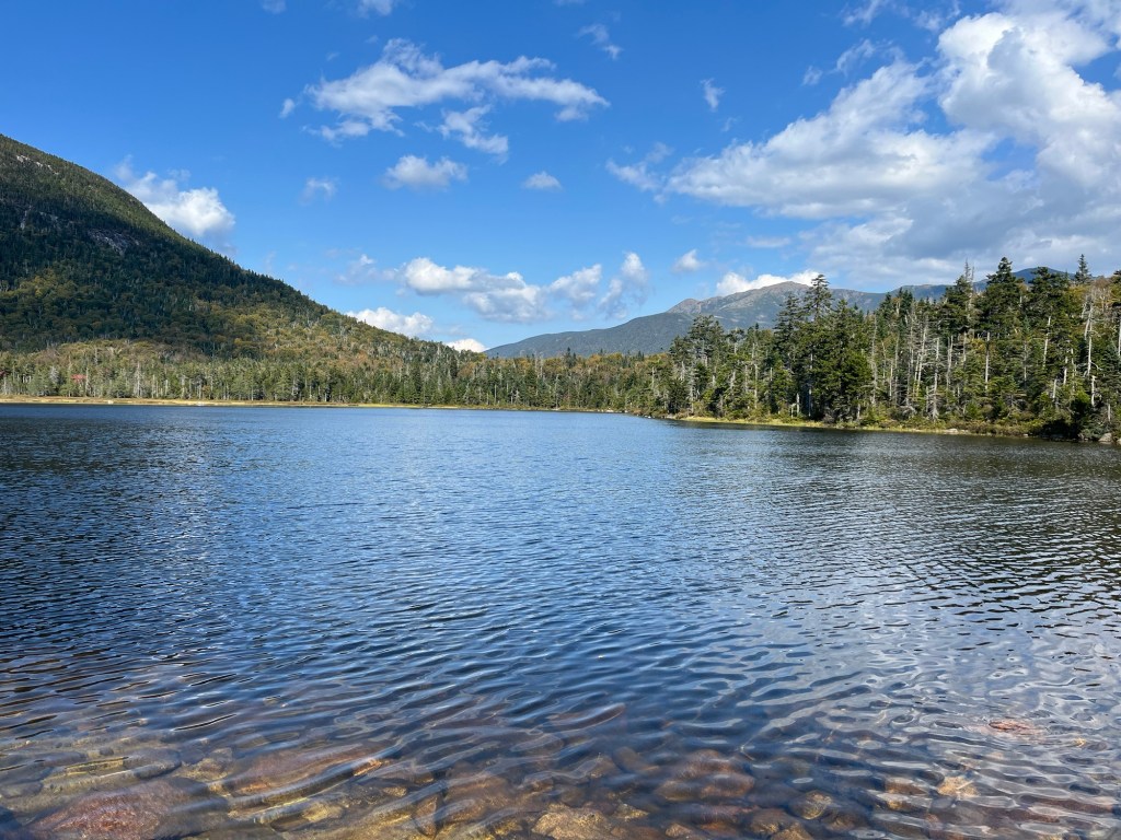
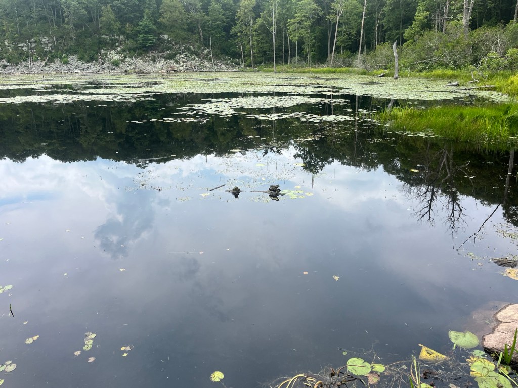
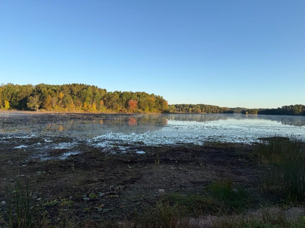
The first ten miles or so north of Drummond are dotted with a number of small lakes, which made for a very pleasant morning. There was always something to look at as we winded our way through the hills in this stretch.

Looking at the FarOut app (the main means I use to navigate on trail), it appeared that there was a long section with no water after Tower Lakae (a typo, clearly, on the app). So, we filled up all of our water bottles, and set off down the trail encumbered by many pounds more than we’d have liked to carry. As we would discover through the day, though, there really were water sources ahead, just not identified on the map. I would sourly point this out every time we passed viable water.

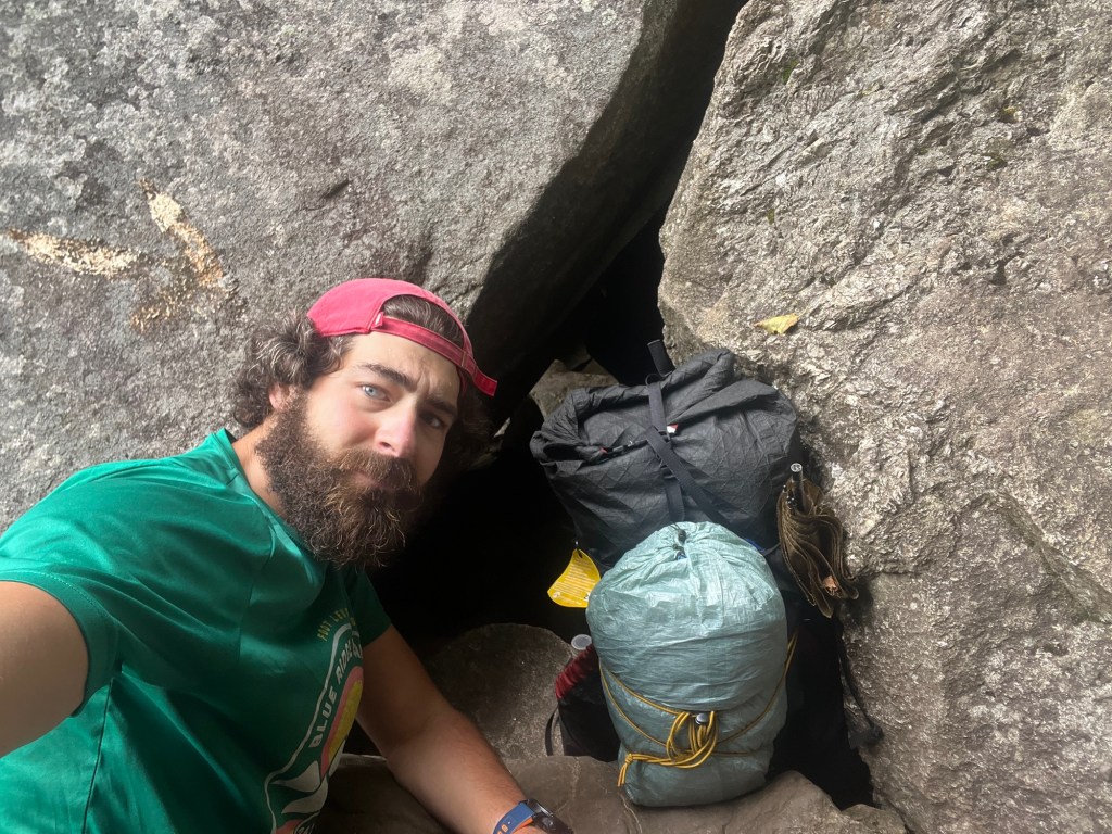
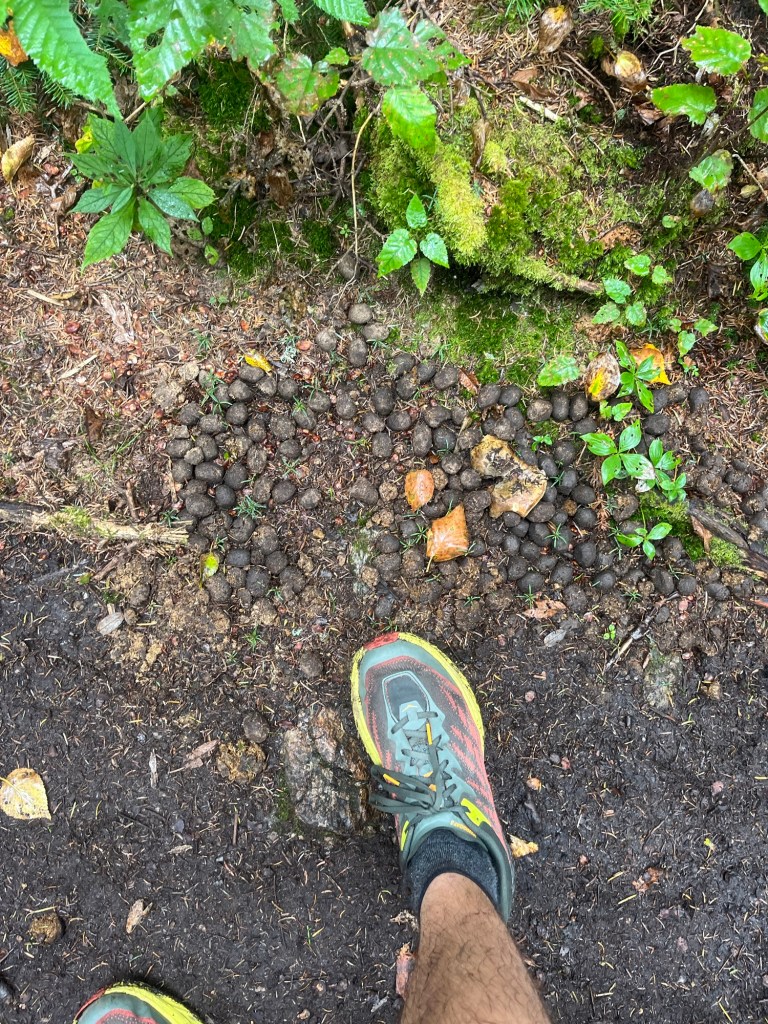
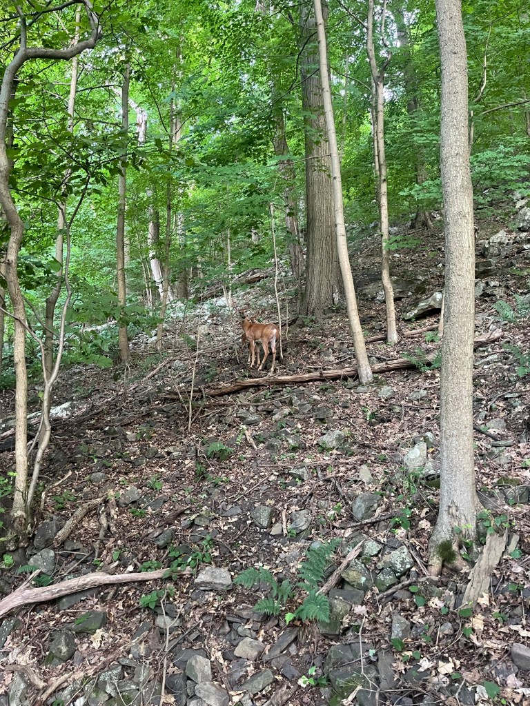
Toward the end of the day, we ran into a bit of trouble finding a spot to camp. As the sun began to get low in the sky, we started scanning the woods for any spot that would be flat enough and clear enough to set up a stealth camping site, but we were stymied mile after mile. Finally, at Bob Nolan overlook, we were able to find just enough room to squeeze in our tents. I set mine up open what was obviously a deer bed in some long grass. If it was good enough for them, it was good enough for me. In the middle of the night, I’d be woken up by a buck making its way by my tent; surely cursing me out for having taken his spot.

Day 7: The Crossing of Hwy 27, Trail Magic, and the Twine Ball (22.9 miles)

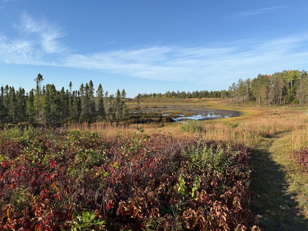
Leaving our campsite at the overlook, the NCT begins heading south on its way toward the next trail town: Solon Springs. As we hiked on, the biome made a noticeable shift away from dense deciduous forest to open, sandy terrain covered in popple slash and pine trees. It was really neat to have seen such diverse terrain over the almost 100 miles we’d hiked so far. Our goal today would be to cover most of the ground to Solon Springs to have an easy day into town tomorrow.

This would turn out to be one of my favorite days of hiking on the trip. I think it was the combination of great views from the hillsides, great weather, and really falling into a great stride hiking with Matt. The day just seemed, well, seemless. We crossed highway 27, which, for some reason, felt like a milestone to me. At one of the dry road crossings, we even encountered some trail magic in fe form of a couple jugs of water placed on the trail with a note. I’d like to give a special shoutout to those anonymous trail angels!

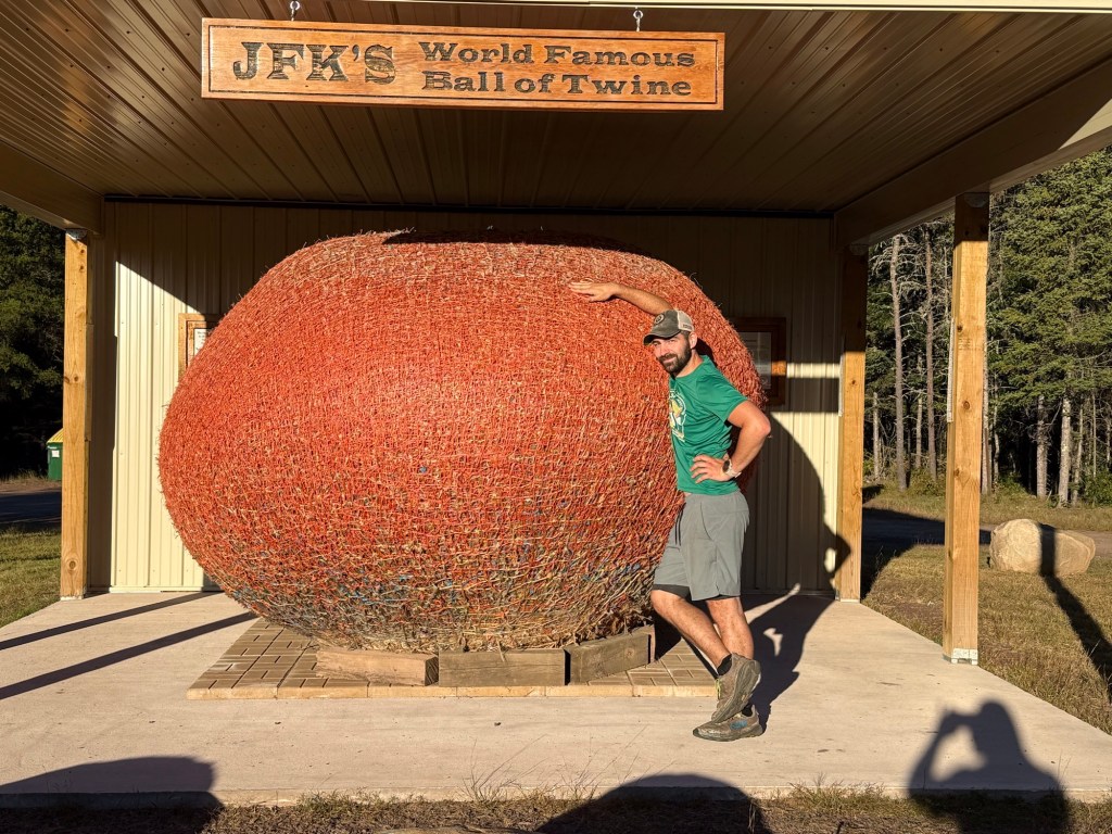
We set up camp for the night in the pine forest near Highland Town Hall, where we were pleased to be greeted by potable running water and JFK’s world famous ball of twine! I hadn’t known the ball had been relocated here from lake Nebagamon, so it was truly a surprise treat to find such a piece of oddball history out on the trail. Fascinating stuff.

We leveraged the town hall’s water to wash some clothes, wash our gross selves, and fill up on water without the chore of filtering. We built a nice fire before bed, and played some cribbage by headlamp. I forget exactly what our win/loss count was at this point in the trip, but I think this is the night the cards turned against me and I fell behind.

Overview of the Bois Brule River valley!

Day 8: The Brule – St. Croix Portage, and Striking-Out in Solon Springs (16.5 miles)

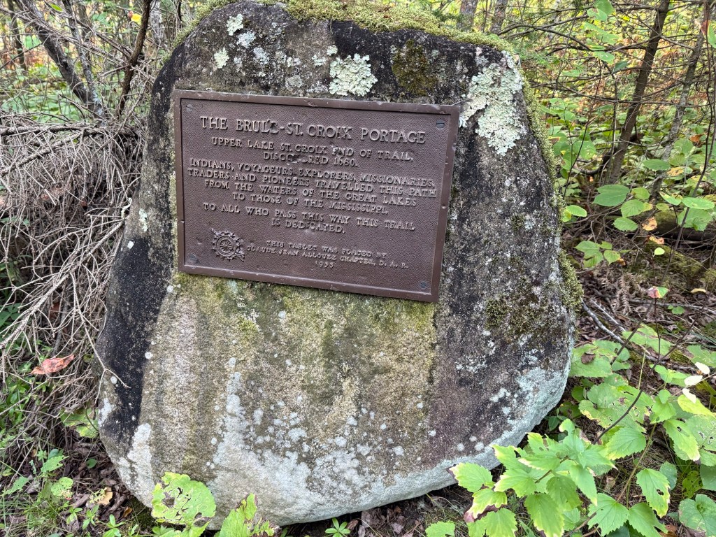
We woke up the next morning to the sound of bear dogs barking off in the distance; a sound that would be with us for the first few miles of the day. After the first few miles, the NCT begins to follow a portage trail connecting the Bois Brule River to the St. Croix River, a path that is marked by a number of portage stones. This is a portage that would allow folks to get from the Great Lakes to the Mississippi River, and it was neat to walk that same path.

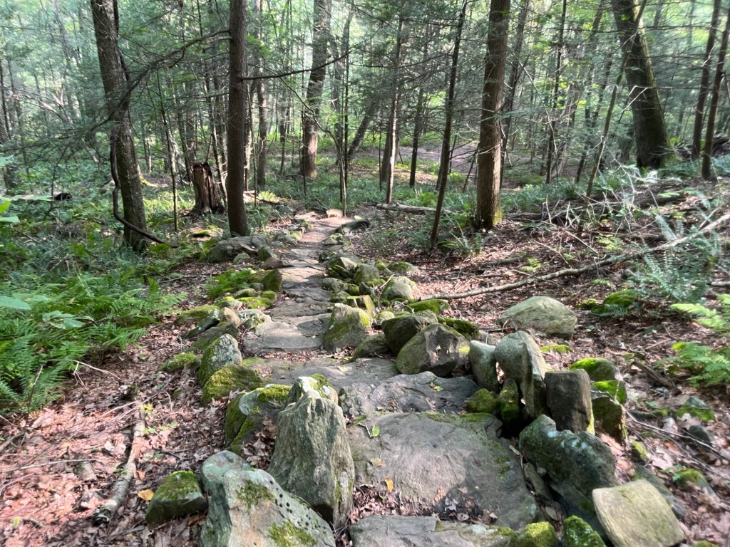
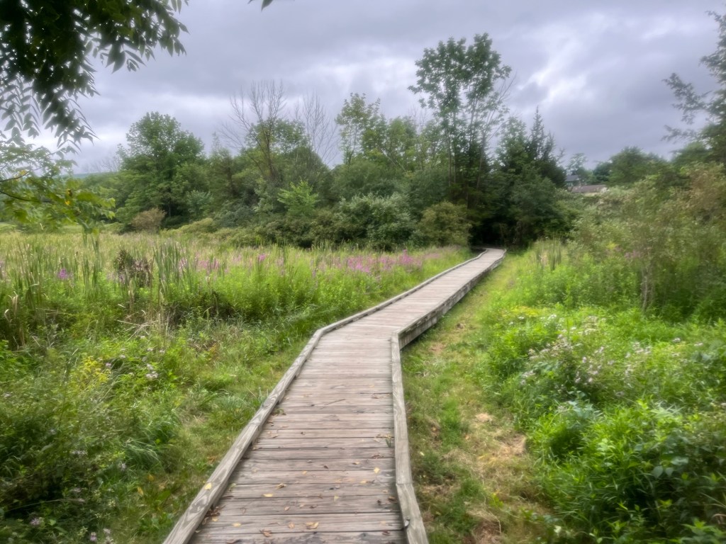
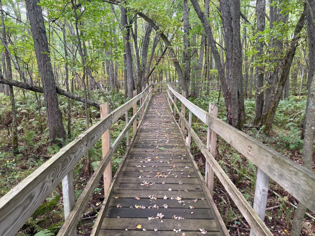
After the portage, we were treated to the Brule Bog boardwalk, an impressive boardwalk nearly a mile long through low-lying marshy bog land. Walking over those planks, I had a real sense of gratitude for all of the trail maintainers and volunteers that make infrastructure like this possible. It had to have been a ton of hard, uncomfortable work to put something like this into place so that we could cruise through this bog and appreciate wilderness that we otherwise wouldn’t have been easily able to. Thanks, NCT volunteers!

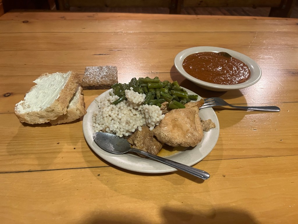
After the boardwalk, we had a bit of road walking before arriving in Solon Springs. Our first stop was at the St. Croix Inn, a hotel with a bar and restaurant situated on Upper St. Croix Lake. The bar maid could not impress upon us enough how limited their menu was, almost to the point that isn’t seemed she was trying to dissuade us from eating there. Nevertheless, I got a pizza, Matt got a burger with a scab of bacon-esque substance, and it was infinitely better than ramen and kielbasa. It was nice to enjoy a meal on the patio on such a beautiful day.

From there, we set up camp in Lucius Woods county park, a well-maintained park in the middle of town. There was nobody at all there, so we selected a nice spot and set up camp. The day was September 28th, and their website said camping was allowed through the end of the month, as did a paper sign posted at the entry to the park. Despite this, we were accosted by a a timid park ranger that didn’t directly come out and say he was kicking us out, but did heavily imply it. Begrudgingly, we began to pack up camp to head outside of town to the nearest backpacking site. Before leaving, we were able to use the park’s free showers (which were really quite nice), and I walked to the grocery store only to find that it closed early on Sundays. What a drag.

Shortly after crossing US Highway 53, we camped at Leo Creek campsite. Here, we shared the site with the only other backpackers we’d meet on our trip, a father and son pair about 350 miles into their trip on the Superior Hiking Trail (310 miles from the US/Canada border to the WI/MN border), the WI NCT (the 215 miles we were doing), and finishing at Lake of the Clouds in Michigan. They were just as surprised to see us, and we exchanged notes on the trail ahead rom each of our perspectives. It was refreshing, especially after being ushered out of Solon Springs unceremoniously.

Day 9: My Last Day on Trail, the Bird Sanctuary, and Gordon Dam (9.7 miles)

For me, this would be the last day on trail. I had to get back to work, so I would be unable to make the entire trip to the Minnesota border. The day’s agenda was a short hike to the Gordon Dam County Park, where we were planning to meet Buffy, who would give me a lift back home.

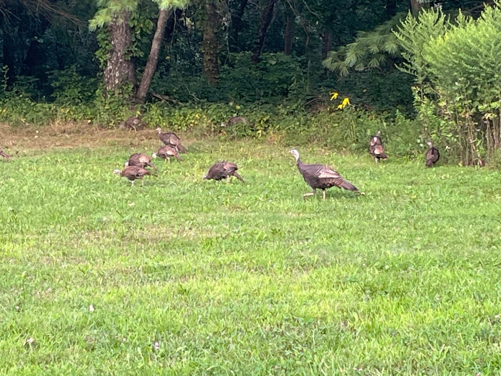
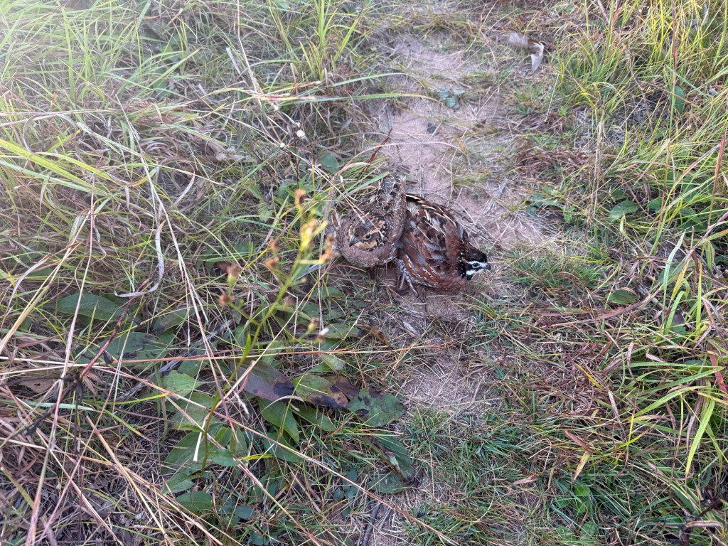
Putting some distance between us and the highway, we hiked on into the Douglas County Wildlife Area, AKA the “Bird Sanctuary.” This was a very open area awash with tall grass, shrubbery, and, yes, a lot of birds. We even happened upon a couple of birds in the act of making more birds (a Google image search would later suggest these were northern bobwhites). We also saw ducks, geese, swans, a heron, and many other birds.

In the midst of the sanctuary is a campsite at Rover’s Lake. We stopped here for a break, and it looked, to me, like one of the nicest, most picturesque sites on the trail so far. It would have been a great place to spend an afternoon or an overnight stay.

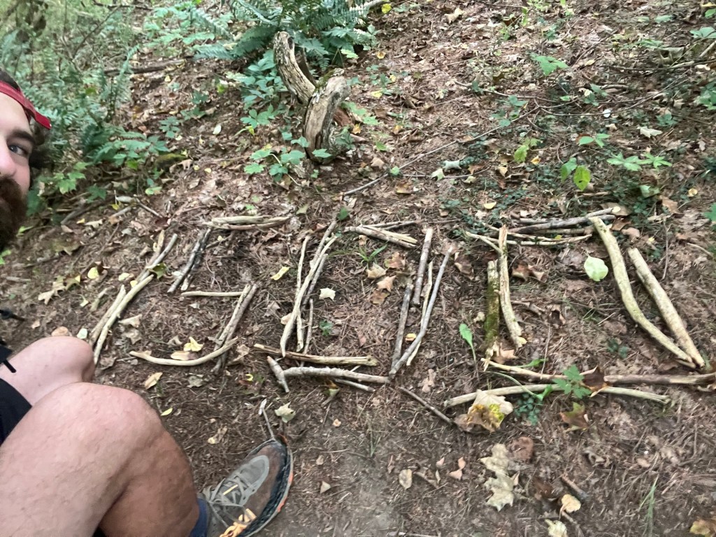
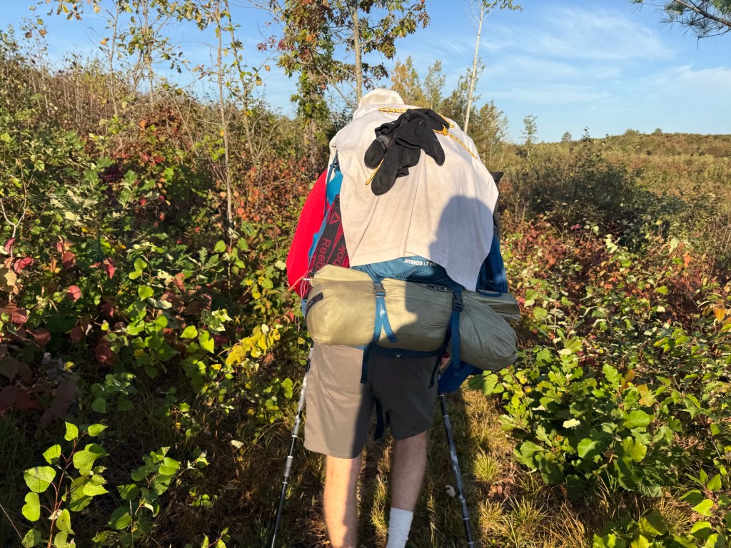
We hiked on, and as we drew close to Gordon Dam, settled, finally, on a trail name for Matt. As it had been his nightly custom to string a line to dry his clothes, as well as to hang clothes on the outside of his pack as he hiked, we decided on the trail name Clothesline. It was an all too obvious choice after constantly hiking behind a shambling mound of underwear and socks for nearly two hundred miles.

We arrived at Gordon Dam park around midday, and I was greeted by none other than the bashful park ranger that had kicked us out of Lucius Woods. “I see you made it here with good time,” he quipped. I could have punched him.

While waiting for Buffy, we played some games of cribbage, at which time I won some games and evened our score. Neither of us having gotten the leg up on the other, we decided that we could still be friends. When Buffy arrived, I packed up my gear and bid good luck to Clothesline (the hiker formerly known as Matt) as he shuffled away on his westward trek to the Minnesota border.

Clothesline goes it alone!

Days 10, 11, and 12: Clothesline Breaks for the Border (55.7 miles)

Though I sorely wish I could have stuck around to hike the final miles of the WI section of the NCT, I had to go back to work. Nevertheless, I can share some of the details of what the final leg of the trail entails, and share some photos that Clothesline shared with me later.

Clothesline stayed that night after we parted at Scott Rapids campsite on the St. Croix River, which he attests is perhaps the nicest site on the WI NCT. From there, there is a lot of road walking (nearly 32 miles) before getting a bit of a respite at Pattinson State Park, home of Big Manitou Falls, the highest waterfall in Wisconsin. Nearby the park, he got what looked to be the best burger on the trail at Manitou Inn Bar and Grill.

The NCT passes through a couple of “towns,” if they could be called that, through this road walk, but not much of anything else. It had to be pretty brutal hiking this particular section, as the monotony of walking over straight, flat-ish, paved roads can take a toll on your mind and your feet. To be sure, Matt was looking a little sore when we met him at the end.

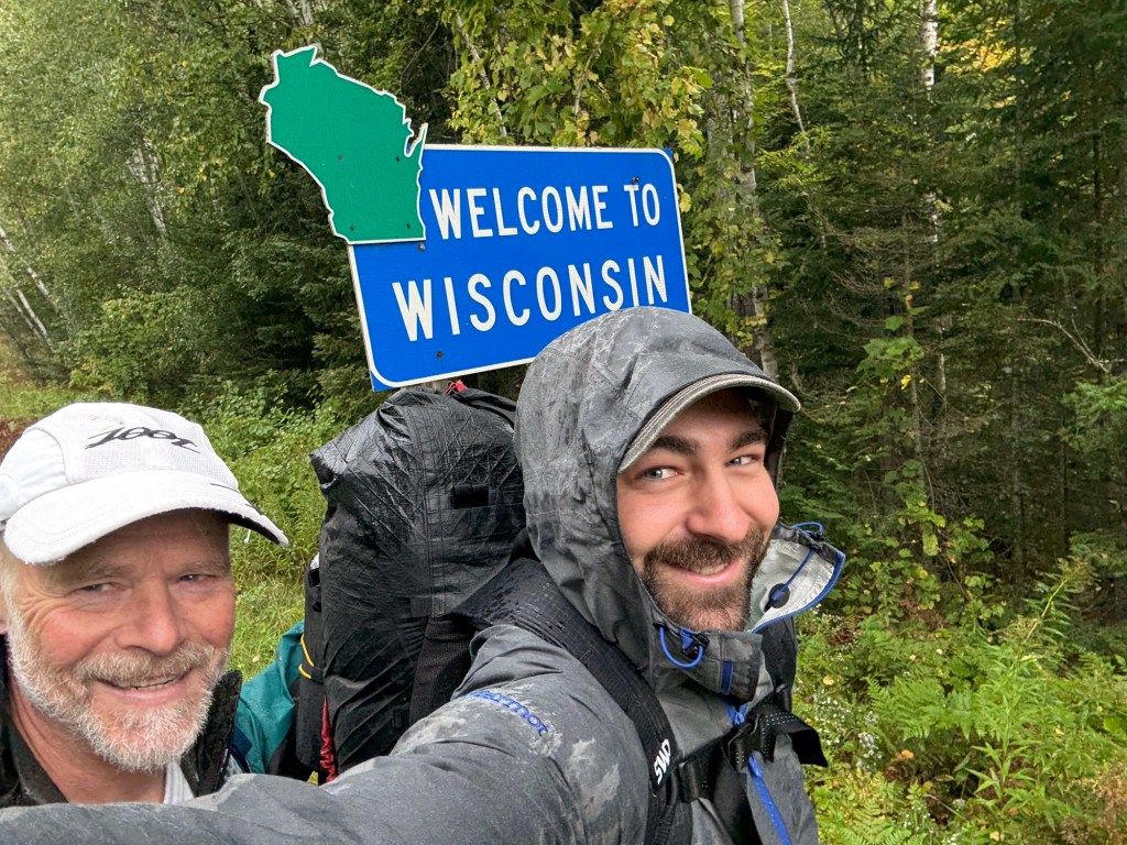
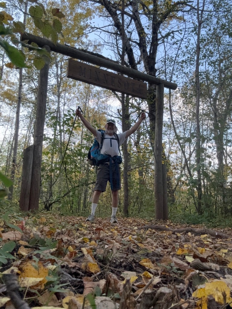
On the last day of his hike, I rode with Buffy to the Minnesota border to meet Clothesline at the end of his successful first backpacking trip. He looked tired, sure, but also glad in what he had accomplished. We went out for a celebratory meal at Longbranch Saloon in Minong. With that, the trip was done for the both of us.

Cheers to a successful section hike!

TLDR: Summary, Conclusions, and Takeaways

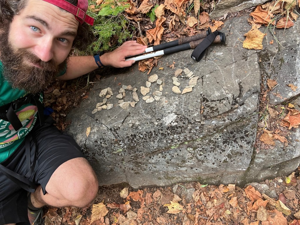
On our trip through Wisconsin, I was able to hike 158.3 miles, and Matt was able to complete a successful border to border section hike of 214 miles. We saw just how dramatically the biomes of northern WI could change as we hiked through rocky waterfall country, the dense Chequamegon Nicolet national forest, the Brule-St. Croix River portage, and the open, prairie-like bird sanctuary. We were challenged by long days on trail at first, but fell into a rhythm in our second half that made 20+ mile days seem easy.

I was sure glad to have had the opportunity to share this adventure with Matt, later Cloothesline. From the initial process of selecting gear and cooking his very first package of ramen noodles, to limping into camp on Day 2, to setting the pace through 20 mile days, to finishing the trail solo, it was a joy to watch him come into his own as a hiker. I hope to be able to endeavor future trips with him, too, as I sure had a lot of fun.

I’d like to once more thank the hordes of ambitious folks that volunteer their time to make trails like this possible. Without y’all, it’d have been much harder to do a trip like this. Thanks, NCT volunteers!

This trip may not have been a cross-country thru hike, but it was still a fantastic journey. Even if you have just a week, you can get out and discover the diverse, challenging lands that exist as close as your own backyard. No backpacking experience? No problem! Find a friend and get out there! I proved to myself yet again just how much I love being out in nature, and was able to share that with somebody else. I can’t wait to get out there and do it again sometime soon!

Thanks for reading, folks!

A Frozen Finish; Just Us and Mount Katahdin

Hi folks!

It’s been awhile since I’ve pounded out a post on Tingo Hikes, but I promise you that I have not been sitting idle in the meantime. In fact, I am freshly back from Maine, having returned to complete my thru hike of the Appalachian Trail by facing down Mount Katahdin, easily one of the most remote, imposing, and treacherous winter summits in the whole of the eastern United States. This is the story of how it all went down.

Snowed-out of the opportunity to hike to the northern terminus of the AT in mid October, you can bet that there were a number of disappointed would-be thru hikers leaving Baxter state park feeling pretty bummed, myself included. With just 5.2 miles of trail left to complete, we had hiked 99.76% of the 2,197.4 total mileage. For many, this could be considered close enough to completion, but I was constantly reminded that my hike had an asterisk on it. I’d say to somebody, “I hiked the Appalachian Trail this summer,” only to be countered with the shocked retort, “Wow! The whole thing?!” Well…

Not content to settle for “almost”, a few of my fellow hikers began hatching plans for a winter ascent; our last hope for a 2024 AT thru hike completion. As a reminder, Baxter state park closes all trails to the summit of Mount Katahdin in the fringe seasons (i.e. autumn and spring) in order to protect the fragile alpine plants on the summit. A mere dusting of snow on the mountain top makes it hard to know where you’re stepping, and these plants get stomped by those that wander from the trail. However, when there’s enough snow to protect the plant life, the summit is reopened for winter ascents.

At first, me and about seven other hikers reached out to an outdoor guide in Maine to lead us on a trip up the mountain. After all, most of us had little to no experience winter hiking, let alone in the mountains, and let alone on one of the toughest mountains on the east coast. After a few conversations, though, the sticker shock of a $1,500 per person guided expedition was enough to scare off most of us, including me. But, we were still determined to get to the top of the mountain and complete our thru hike. How hard could it be?

Relief map of Katahdin! Our potential summit path (the AT, AKA the Hunt Trail, highlighted in green!

It could be very hard, as we would learn in short order. This is the part of my post where I’ll post a warning. Hiking Mount Katahdin in the winter is difficult, and should not be undertaken without proper respect and precautions. Weather can be extreme, the hiking is brutal, avalanche conditions can be present, and rescue is not guaranteed. We entered into this hike knowing fully that our safety was entirely our responsibility. We spent a lot of time preparing to tackle this hike safely, from researching routes, procuring the proper gear, creating contingency plans, and more. Once again, this hike is not to be taken lightly.

So, let’s get into it, starting with gear. In addition to everything else that I would usually carry on the rest of my thru hike, I also had to make the following gear adjustments:

  • A larger backpack (I swapped out my ultralight Superior Wilderness Designs pack for a heavier-duty Kifaru pack that could handle more weight)
  • Waterproof, insulated hiking boots rather than trail runners
  • A thermos (it’s quite a luxury to enjoy hot tea on a cold mountain top)
  • A cold weather sleep system (I replaced my 32 degree bag with a -30 degree bag, and procured an inflatable sleeping pad with a greater insulating capacity)
  • Winter layers, lots of them (gloves, hat, a waterproof coat, winter base layers, thick wool socks, waterproof pants, a balaclava, and extra dry layers for when they got wet)
  • An ice axe (the true MVP gear of the trip, an ice axe is useful for grabbing hold of rocks or ice, chiseling steps into steep snow, or, God forbid, self-arresting an accidental slide down the mountain)
  • Crampons (essentially big spikes for your shoes, good for when there’s steep ice/snow)
  • Microspikes (smaller spikes for your shoes than crampons, good for glare ice)
  • Snowshoes (for walking on top of deep snow)
  • Iodine tablets (I used these to purify water rather than my good ‘ol filter, which would have frozen)
  • Way more food than I would usually pack; particularly stuff that wouldn’t freeze

All in all, my pack weighed a gruesome 54 pounds once I added food in. Being used to a pack of rarely more than 20 pounds for the rest of my hike, this was no insignificant weight gain. Shoutout to Kifaru for making a great pack that can carry that weight so comfortably!

54 lbs of winter gear! The green pool noodle is the sheath for my ice axe to make it more flight-worthy. Maddie stares in astonishment!

Our summit party consisted of four individuals:

  • Alpine (that’s me!)
  • Hot Foot – a hiker I met halfway through the AT and hiked on and off with at various intervals on our way to Maine; a tragically sarcastic guy.
  • Van Gogh – a hiker I met near Saddleback Mountain in Maine; this is his second thru hike of the AT, which he hiked with his sweet dog, Riley; looks like Vincent Van Gogh.
  • Alan – not a thru hiker, but Hot Foot’s friend from PA; an avid boulderer (a subsection of rock climbing), a decent photographer, and a congenial dude (not pictured below because I didn’t get a mountain shot of him for some reason).

Now let’s talk logistics. Submitting Katahdin was going to require primary plan and a backup plan. For us, that looked like this:

  • Day 1: I fly to Portland, ME, where Alan and Van Gogh will pick me up while driving north from Pennsylvania and Maryland, respectively. We’ll stay the night in Kingfield, ME, where Hot Foot works at Sugarloaf Mountain ski resort.
  • Day 2: Drive 3 hours to Baxter state park and hike the ten miles in to Katahdin Stream camp. Set up base camp and spend the night.
  • Days 3 – 5: Potential summit days. If the weather is foul (i.e. snowy, rainy, blizzard-y, etc.), then we’ll wait at basecamp for the next day, crossing our fingers the weather will improve. Ideally, we summit on day 3, right away.
  • Day 4 (or maybe 5 or 6): Hike out of Baxter state park and drive 3 hours back to Kingfield.
  • Day 5 (or, perhaps, day 6 or 7): I fly back to the Midwest as a freshly minted thru hiker!

I know what you’re thinking; that that’s a lot of days potentially sitting and waiting around at camp if the weather is bad. Worry not, though, I packed a cribbage board and swore to my party members that I would forcibly educate them if necessary.

Enough preamble, let’s talk about the amble! The trip out to Maine was easy enough. My mom was kind enough to give me a lift to the Minneapolis airport for my 5:15 AM flight (thanks again for that early, early ride!), and my flight to Portland was uneventful. I waited in Portland for Alan and Van Gogh to show up, as they were picking me up on their drive north from PA/MD. From Portland, we drove north to stay at Terrapin Hostel in Kingfield, ME. It was a hostel that I hadn’t taken time to visit while hiking the trail, but I can 100% recommend it!

We woke up early Saturday, December 14th to drive to Baxter state park. Almost immediately, we hit our first snag when the wire cable supporting a telephone pole ripped the bumper off of Alan’s car. Luckily, Hot Foot’s building manager was also up early to witness our misstep, and was quick to offer up some Gorilla Tape as a temporary solution to get us on our way!

Good Ol’ Gorilla Tape!

After a couple hours of driving, we did a last minute resupply at the general store in Millinocket before heading into the park. This first day of hiking was pretty easy going. In about 20 degree weather, we had a nice, sunny 10 miles to get to Katahdin Stream campground where we’d set up camp. The terrain sloped very gently uphill, and was mostly thin, crunchy snow. Only a few spots had us penguin-walking over glare ice; a warning of what we had in store for us the next day… I took a nice break at Big Niagara Falls to enjoy the scenery and warm up with some coffee that I’d packed out in my thermos. My thermos would quickly prove to be one of my favorite pieces of winter hiking gear!

I arrived first to Katahdin Stream from our party, and took our pick of one of the many vacant lean to’s. Seriously, there was not a single other soul to be found. I used the last of the remaining daylight (a precious commodity) to set up camp and build a fire for the rest of the team. Tonight, it would get down to about 5 degrees, making for the coldest weather we’d see in our outing.

Camping at well below freezing makes a few things pretty cumbersome. Every small task becomes much harder when your fingers are numb, to start. Starting a lighter, changing your socks, brushing your teeth; all of these things are much less appealing at 5 degrees than your sleeping bag. Katahdin Stream itself flowed just next to our campsite, so we were able to collect water with ease. However, the stream water would very quickly freeze after it was collected, so cooking and eating was always a race against the clock.

The next morning, Sunday, December 15th, was summit day. The weather was looking like it was going to be great, with a 32 degree high, gentle winds, and clear skies. I woke up at 5:00 AM sharp and prepared to meet the day’s challenge. At 6:30-ish (later than we’d hoped), we set out. Things were pretty easy at first. 1.2 miles in, we encountered Katahdin Stream Falls. I thought things were going pretty easy, having cruised through this first part in no time. HOWEVER! The next mile after Katahdin Stream Falls was an unrelenting uphill skating rink. You see, it had rained a few inches in Baxter park a couple days before our arrival. The ranger station had even called our group to warn us of the ice, but we were determined. Well, it was slick, and definitely slowed down our pace headed up. I fell only once (fall count = 1)!

After braving that icy nonsense, we encountered about a half mile or so of waist deep snow. Occasionally, you could walk on top of this crusty snow, but about half of the time you’d fall through. I had the privilege of being first in our group, and thus being the one to break trail for the others. This half mile of uphill hiking in waist deep snow was by far the hardest hiking of the entire trip. Clawing my way through the snow was exhausting, but it made hitting tree line and escaping into easier terrain such an enormous relief! I thought to myself that if the rest of the hike was going to be that hard that we wouldn’t make it!

Alan and I tended to be faster hikers than Hot Foot and Van Gogh, so for the remainder of the hike, we took a strategy of hike a bit ahead, then wait a bit for folks to catch up. Hiking above the tree line became a jungle gym of rock scrambling and bouldering, which, I thought, was actually a lot of fun. This was the first time in the trip that I busted out my ice axe, which immediately proved its utility as a stabilizing cane, a rock grabber, and an arm extension. Just about 0.8 miles traverses this rocky part of trail called the Hunt Spur. With he clear weather we had, the views were amazing.

A fine view from the Hunt Spur! It’s much harder than this photo makes it seem!

The steep boulders of the Hunt Spur give way suddenly to the much less steep Tablelands at The Gateway. Here, signs warn hikers to stay on trail to protect the fragile alpine plants. Most of these plants were under several inches of ice and snow, making them safer, now, to walk on. Though the Tablelands were a pretty gradual climb, they marked the resurgence of glare ice. I fell twice (fall count = 3), Alan fell once (hard) on his knee, Hot Foot landed on his elbow, and Van Gogh had a couple of falls that looked pretty dicey to me. With just about a mile to go, though, before reaching the summit, we were bound and determined to press onward. The end of the entire through hike was within sight!

Finally, at just about 2:00 in the afternoon on December 15th, after hiking 2,197.4 miles from Springer Mountain, Georgia, having countless adventures, meeting tons of great people, and having never given up, my thru hike of the Appalachian Trail came to an end at a little wooden sign on top of Mount Katahdin. It is hard to articulate the sense of accomplishment that one feels at a moment like this. I am proud of myself for having completed what I set out to do, something that most people fail. I am thrilled to share the moment with friends I met along the way. I am filled with an overwhelming sense of personal accomplishment and relief. We all took our moments to feel whatever it was we needed to feel then and there.

The summit party!

I made a quick call to my mom at home (the summit was the only place we’d get cell service in the entire park) to let her know that we’d made it safely and were headed back to camp. Speaking of which, it was getting late (2:30 PM), and it was becoming increasingly cleat that we would not make it back before dark. However, it was at least our goal to make it below tree line by dark. At least it was all downhill from here!

The sun sets over the Tablelands and a successful thru hike!
One final glimpse of the sun (still not below tree line)!

We descended the Tablelands and the Spur carefully, noting that if there were any potential for an accident that it would be above tree line. Just as it became too dark to see without a headlamp, we made it to back to the snowy section boxed in by trees. Alan and I jetted ahead to camp, practically skating down the slick icy sections (fall count = 5) just to get back to camp for some well earned fire and food. Sleep came easy that night. We all made it up and down the mountain safely and successfully.

The following day, we took the Blueberry Ledges trail back to the parked car, which shaved about 5 miles off of our route to Katahdin Stream. The Blueberry Ledges trail may have been shorter, but boy was it icy for a little ways. I felt like I would be better suited with a bobsled rather than my hiking boots. I was relieved to get to the car, where I was finally able to take off my 50 pound pack and relax while I waited for the rest of the group to arrive.

Blueberry Ledges, the final hazard!

And with that, that was it. We drove back to Kingfield, stayed another night at the Terrapin Hostel, and parted ways the next day. I flew back to Wisconsin, Hot Foot remained in Kingfield to work the rest of the winter at Sugarloaf, Alan headed back to PA to take third in a bouldering competition, and Van Gogh went back to MD, presumably to tell Riley about what he’d missed out on.

Overall, what an epic way to finish a thru hike. I’m so glad to have had the opportunity to see this whole crazy thing through in such a unique way. I will never forget the adventures I had on the whole of the AT, but the frozen finish will, I’m sure, stick out in my memory.

I’d like to share my thoughts on how the hike has changed me, what I’ve learned, and what I might be planning next. But, since I know this post is getting long, I’ll leave those details for a future post. For now, thanks for reading, and I’ll catch up with y’all next time!

The end of the trail!

Hey folks!

Well, it’s finally happened; the trail is finished, and I am back home in Wisconsin. It’s been a busy time since I last updated y’all at the Kennebec River in central Maine. So, how did everything go? I’ll fill you. In with everything here!

Mount Katahdin; the end of the line!

Moving on from the Kennebec, a lot of us expected the trail to become pretty easy for the remainder, at least until we hit Mount Katahdin at the end. After all, the elevation profiles we were hiking into were nothing like the Whites in New Hampshire; they were practically flat in comparison! Well, it turns out that terrain has a huge say in that, too. I swear, Maine is the rockiest, rootiest, occasionally muddiest part of the trail! What’s more, Maine is pretty darn rugged, and therefore has you fording a lot of bridgeless rivers, leaving your feet in a near perpetual state of wet. What’s even more, as the leaves fell, they would often cover up all those rocks and roots, making each step a “will-I-won’t-I-trip” sort of gamble. Even through these “flat” sections of trail, I was still averaging only just about 2-2.5 mph.

Despite some difficult trail conditions in Maine, I could not have asked for a more beautiful time to hike through the last state on the Appalachian Trail. I’m from Wisconsin, and we have beautiful fall colors, too, but I’m here to say that Maine beat out the Midwest by a bit. If you’re looking to go to Maine, autumn is a fine time!

Before getting to the end of the trail, one must first pass through the 100 Mile Wilderness. The 100 Mile is a – you guessed it – 100 mile stretch of trail from Monson, ME to Baxter State Park that contains relatively few intersections with civilized society. There are a few fire roads with limited access, but beyond those, you’re on your own. Prior to entering, one must make sure that they leave Monson with all the provisions to make it through. I stopped for a bit at Shaw’s Hiker Hostel, one of the last hostels on trail heading NOBO, and one of the most well-recognized on trail. I was super surprised to run into Kevin and Anne Roytek, relatives from back in Wisconsin, who were visiting Maine at the same time I was passing through! It was great to see them! They were kind enough to give me a lift to the grocery store, and treated me to a meal at a local restaurant! Truly some of the best trail magic I’ve received! Major shoutout to Kevin and Anne!

Moving on into the 100 mile from Monson, I encountered two problems. I called it, “the food and energy crisis.” Problem number one was that I got 20 miles into the 100 before I realized that I forgot a not insignificant chunk of my food resupply back in Monson; probably about 40%. Faced with the choices of turning back and re-hiking 20 miles or pushing forward, I chose to push on ahead. Let me tell you, hiking hungry is awful! In rationing my food, I was eating about 2,000 calories per day, but burning about 4,000 – 5,000. It certainly wasn’t to the point where I was concerned for my safety, but boy was I envious of other folks’ food!

A word to the wise!

A quick note on the nature of AT hikers: they are amongst the kindest folks you will ever meet. Even in the 100 Mile Wilderness, where resupply is nonexistent, my fellow thru hikers very kindly helped me out with some food to help me through that last stretch. They didn’t even bother to poke fun at my idiocy, they were just glad to lend a helping hand. Special shoutout to Tim and Rocket for their lifesaving contribution to my hike!

Problem number two: my power bank, which I use to charge my phone and headlamp, has a flashlight feature that you can activate via a button on the side. This fun little feature activated while my battery bank was in my pack, draining most of my power away as I hiked blissfully unaware. After a full day of this, my battery bank drained to about 40% after day 1 in the 100. Not the worst problem, but it did mean that I had to majorly ration the use of my phone and headlamp. My phone is not only my primary means of navigation, but my only means of emergency contact. And, with the days shortening, I rather needed my headlamp for hiking in the evenings and use at camp.

My red light illuminating my two issues; battery bank down to 20%, and Cup-a-Soup’s for dinner!

There is an upswing to the energy crisis, though. Being without power forced me to hike this last part of the trail “unplugged”. I usually listen to music, audiobooks, or podcasts while I hike, but I hiked the majority of the 100 with nothing more than the trail and my own thoughts. When folks embark on a hike of the AT, I think they often think that the hike will be accompanied by any number of personal epiphanies or transformative experiences. For me, the best of these came in this stretch of the 100 where I was unencumbered by distractions. Inadvertently, then, the 100 Mile Wilderness became one of my favorite stretches of trail simply due to the clarity of thought that it imposed. If you’re going for a hike in the woods, might I suggest skipping your phone across the nearest pond, and taking your stroll sans technology?

Exiting the 100 Mile, I was greeted with a good news/bad news situation. The good news – my mom and my aunt Deanne, the very same folks that dropped me off at the start of my journey at Amicolola Falls in Georgia, were there to meet me at the end, and they brought food!! I cannot tell you how great it was to see these folks. Mind you, they drove all the way from Wisconsin (a 24 hour continuous drive) to ceremoniously bookend my thru hike. I give shoutouts on my blog all the time, but these two are the true MVP’s of my support crew.

Trail angels Momma and Auntie D!

Now, the bad news… I emerged from the 100 Mile on October 15th. Snow was forecast on Katahdin that night. The rangers at Baxter State Park decided that they would preemptively close all trails leading to the summit of Katahdin. I cannot tell you how much of a bummer that was to hear upon exiting the wilderness. I had 5.2 miles of trail left to complete that was closed off. What was one to do? Well, there was a solid chance that the mountain would reopen in a few days, as temperatures on the summit were to return to 50+ degrees in short order. We decided that we would wait it out as long as we could.

So, we killed some time in Maine style. We took a day trip to Baa Haabaa (Bar Harbor) to bounce around the little shops, see the coast and get some lobstaa (lobster). We visited Stephen King’s old house in Bangor. We had a picnic overlooking Mount Katahdin. My mom even became an “AT hiker” by hiking a single mile of the trail to see Little Niagara Falls!

So we waited. And we waited. Checking with the ranger station, it appeared day by day that prospects were looking more and more bleak; that they were considering leaving the mountain closed for the season. As we held out hope that it would reopen, Deanne ran out of time to wait, and flew home from Bangor while my mom and I hung back. Eventually, on the 18th of October, they closed the mountain for good. The mountain having closed as early as the 15th was peculiar in that it historically doesn’t close until after the 20th. I felt a bit lead astray by the parks department in Monson, who seemed to indicate that there was no way the mountain would close on the 15th. I guess nobody can predict or control the weather. So, just like that, we had no choice but to head home.

I will not lie, me and another thru hiker did consider doing an illegal summit of Mount Katahdin by cover of darkness, especially after the snow had melted (which it did, mind you). We called it Operation MoonKat, as it would have entailed sneaking past the barricade and climbing by the light of the full moon. A well-researched plan, it would have worked, but we called off the plan due to strength of moral compass. Submitting in such a way would have had a certain wrongness about it; it wasn’t the way we were going to end this hike.

Before leaving Millinocket to head back to Wisconsin, I had a chance meeting with a number of other thru hikers that were similarly stymied by the mountain. You may remember Minion, High 5, Calorie Man, and Rogue from my 4-state challenge back in Maryland. I also ran into Van Gough and his dog Riley that I met in southern Maine. As we all conceded our defeat, we raised the serious prospect of coming back to Maine and summiting Mount Katahdin in the winter, when they reopen the mountain for mountaineering in the snow. There’s a strong chance I’ll be back to finish off those 5.2 miles to the summit!

Mount Katahdin, I’ll be back!

So at present, I’ve hiked 2,192.2 out of 2,197.4 miles of the Appalachian Trail. That’s just about 99.8%. Do I consider myself a thru hiker, then? By technical definition, a thru hiker is one that has hiked the entirety of the trail, so by that definition, no…. However! I now plenty of folks that would claim the title despite skipping many more miles than that. Plus, like I said, I’ll be back, and maybe even as soon as this winter!

I am proud of my accomplishment. I do consider myself a thru hiker. This summer, I set out to accomplish something that has been a dream of mine for over a decade, and I consider this hike to have been a major success! I have met fantastic people of all sorts, seen a new face of the country, developed a brand new skill set, come to know myself better, and succeeded in something at which most people fail. I am proud of my little walk, and I intend to carry the lessons I’ve learned from the trail forward to all aspects of my life.

Thanks for reading my long post! Now that I’ve finally got a keyboard to channel my thoughts through, I realize that I can tend towards verbose. This will not be my last post, though! I’ll be posting a recap of the trail, and lessons learned in the near future!

Regards,

Alpine!

Southern Maine, foot issues, autumn, and moose!

Hi folks!

I am writing to y’all from the Backstrap Bar and Grill in Stratton, Maine, having just passed mile 2,000 on trail!! Obviously, that means that I’ve already passed into Maine, the final level in the video game of the Appalachian Trail!

The defining characteristic of Maine so far is its remoteness. Maine and New Hampshire have a lot in common in terms of terrain (vicious ups and downs, for sure), but Maine has a marked decrease in people. Especially being a late season hiker, it occasionally feels like I’m one of the last ones out here! I have seen familiar faces recently, though; shoutout to CJ, Wiki, Doppelgänger, Wake-n-Bake, Cocoa Bear, and others that I re-met back up here!

After the Whites, I did take two days off in Bethel, Maine, to take care of my feet a little bit. Going down so many hills in the Whites caused the entire bottoms of my feet to bruise and swell, which I didn’t really even know could happen! After a couple of days of rest, they are all better, you’ll be happy to know. I also got a chance to exchange some worn out Darn Tough socks for some new ones, which has also helped them out! You have to love that lifetime warranty! RIP, my 2,000+ mike socks!

One battered and abused foot!

We had two days of hard rain here in Maine, but the weather has been great otherwise. After the second day of rain, I took the evening to stay at The Cabin in Andover, Maine. The owner, Honey, is a 90-some year old wonderful woman that was glad to share trail stories from her many years of living the trail. She was good friends with Earl Schaefer, the very first Appalachian Trail thru hiker, who completed his hike in 1948. She has a neat room full of AT memorabilia through the years, including a large dining room table signed underneath by years and years of hikers. Her hostel had the definite feel of “your grandmother’s basement”. It was great.

Passing through southern Maine, you go through some rugged, rugged terrain. Famously, the Mahoosuc Notch is a 1 mile section of trail whose murderous jangle of boulders, crevasses, and caves lend it the title of “the toughest mile of the AT”. I don’t know about toughest, but it certainly demanded a full-body style of rigorous hiking unique to that section. The rest of Maine has plenty of sections that need to be navigated with care, with rebar drilled into the sides of sheer rock faces, steps drilled into the mountains, or boards aiding in river crossings. Neat stuff!

Though I have no pictures of the encounter, I did have a late night encounter with a bull moose. After sunset, as I was sitting in my tent, I was awoken by the sound of heavy thudding nearby. Curious what was there, I shone my light out the screen of my tent to see a moose walking by, about ten feet away. That was fine, until it got curious what I was and approached my tent. As it peered into my tent, it was so close I could have bopped it in the nose; the condensation from its heavy moose breath clouding the interior of my tent. What do you do? Nothing, that’s what. Moose are monsters, and it’s moose rut season, so they can be aggressive. I just say there and let him decide my fate, which, luckily, was for him to leave me alone. As he turned his big moose nose to leave, he ripped the gulling of my tent out of the ground, frightened himself, and then sprinted off into the woods. Freaky stuff, but neat.

Right now, Maine is about at peak fall color! It pays to be a late season hiker, as we get to see the trail at its most beautiful!

This morning, I crossed the Kennebec River! Shoutout to Cheryl who ferried us across in her canoe! From here, it’s just 150 miles to the end of the trail! It’s hard to believe it’s almost over. I’ll try for a quick update before the end of things!

New Hampshire, and the Whites!

Hi folks!

I am in New Hampshire, having completed 1,878 miles of trail! I’m currently in North Conway, where I am staying with a friend that I met on trail back in Massachusetts! Rachael was kind enough to pick me up at a nearby trailhead and let me spend the night at her place, do laundry, and buy me dinner! That’s just more proof that the people you meet on the Appalachian Trail are just great. Thanks a ton, Rachael, for the awesome trail magic!

Since I last updated, I’ve crossed the border from Vermont into New Hampshire. The most notable difference between NH and the rest of the AT is that it is brutally difficult! Seriously, NH makes most of the rest of the trail seem like no effort at all. The AT passes through the White Mountain National Forest for almost its entire mileage in NH. The Whites consist of many mountains greater than 4,000 ft, and some absolutely rugged, rocky, practically vertical terrain. A lot of the mileage is above treeline, though, which gives absolutely gorgeous views from the mountain tops. Where previously on trail I was used to doing 20 to 25-ish miles per day, hiking only 15 miles in the White Mountains can be a full day. My day yesterday consisted of hiking the presidential traverse – a roughly 15 mile long segment of trail above tree line that hikes up and over numerous large mountains named for US presidents (Pierce, Eisenhower, Monroe, Washington, Clay (not a president, but we’ll let that slide…), Jefferson, Adams, and Madison. It was a hard, but super rewarding day of hiking. Mount Washington, the highest peak in the northeast, measures at 6,288 ft, and can be accessed by road and by train. I have heard it is tradition for thru hikers to moon the train as it crosses the trail to the top of the mountain, but it wasn’t passing by at the same time I was, so I missed my chance. Mount Washington is known for having brutal weather, at one point holding the record for highest wind speed ever recorded on planet earth (230 some miles, I think), but my day over the traverse was clear, sunny, and dang near perfect.

Honestly, there are gorgeous views every single day here in New Hampshire. If you’re up for the challenging hikes, I would highly recommend a visit. Other notable peaks have been Mount Moosilauke (the first of the White peaks the AT hits), Franconia Ridge, the Wildcats, and so many more. I have really lucked out on the timing of my hike through this area; the leaves are beginning to change, it hasn’t rained at all, the temperatures have been hanging around 70, and it’s too late in the season for bugs. How I threaded that needle I have no idea, but I’ll take it.

Through the Whites, the Appalachian Mountain Club (AMC) maintains a number of highland huts that folks can rent bunks in for some major coin (like, more than $100 for a bunk that’s not all that great). The reservation comes with food, too, which makes it better, but still a steep price to pay for a night’s stay. Fortunately, these huts offer a first-come-first-served “work for stay” program for thru hikers. In exchange for a couple hours of work, they will allow you to sleep in their hut, as well as eat as many leftovers from dinner as you can stomach. I did a work for stay at Mizpah hut, where I washed windows for a couple of hours to earn my spot on their library floor and unlimited access to glazed chicken, couscous, green beans, and bread! Excellent.

This morning, after leaving Rachael’s place, I also got to meet up with Ladyslipper, another friend of mine (from Hayward!) that lives in the area. You may remember her from my post about trail days in Virginia, where I last saw her. This morning, she treated me to breakfast at a local place, and a ride back to the trailhead. Thanks again!!

As the leaves begin changing, I am reminded that winter is approaching. One thing I need to keep an eye on is getting to the Kennebec River in Maine before September 30th, when the Appalachian Trail Conservancy stops running their river ferry. I’ve got only 180-ish miles until then, so I should make that no problem. Other than that, I just need to get to Katahdin before the winter hits; a mere 320 miles ahead! The next time I post, I’ll be in Maine, with the end of my hike looming not far ahead. Kind of a surreal feeling closing in on the end after such a long time out on trail; more on that later, I’m sure. The amount of other hikers on trail is beginning to dwindle, too. There aren’t many of us NOBO’s left. To me, this is giving the end of the hike a more personal feeling. It’s just me and the trail, now.

That’s it for now, folks! I need to get hiking!

Vermont, and a Long Trail!

Hi folks!

This will be a quick update, but I am presently cooped up in a shelter on a rainy evening in Vermont! I’m currently at the Little Rock Pond shelter at mile 1677.9 of the AT, which leaves approximately 522 miles left of the trail to complete! I’ve got to say, just being up in the third to last state is giving me very “near the end” vibes, despite still having so many miles left to go. The weather, too, has been much more mild and pleasant, hanging around highs of 70°F and really starting to give that chilly autumn night/morning feel.

Much like the AT in Pennsylvania is notorious for rocks (earning the nickname Rocksylvania), the AT in Vermont is known for its mud, earning it the nickname Vermud. Fortunately for me and the other hikers here, it’s been pretty darn dry (up until this rainstorm going on right now), so the mud hasn’t been that bad. There are plenty of muddy sections of trail, but they have been mostly manageable by rock hopping and strategically stepping on dryer sections of trail. We’ll see what tomorrow’s trail brings after this fresh rain!

There is another famous trail that runs through Vermont called the Long Trail. The Long trail is 273 miles, and runs from the MA/VT border to the Canadian border. For the first portion of the Long Trail, it runs concurrent with the AT. That means there are suddenly a lot more hikers. It’s funny, every person you meet now, you must first shake out their credentials; are they AT or LT, NOBO, or SOBO? So many options… It has been nice to have more folks around, though. I’ve had a lot of fun conversations with LT hikers I’ve met at shelters.

Downhill skiing is a pretty big thing in Vermont, and the ski lifts still run in the summer to service bikers, hikers, and other such folks. The ski gondola at Stratton Mountain allows thru hikers to ride for free, which meant I was able to take a nice lunch break to the ski village at the base of the mountain to get some soup and coffee! It was pretty neat, having never ridden a gondola before. On Bromley Mountain, there is a hut that is used in the winter for ski patrol, but is opened up for hikers in the summer. I had a great, warm night’s stay at the Bromley ski hut, complete with electricity (a true trail luxury)!

The trail in Vermont has certainly become more difficult than the trail in previous states. I’m pretty sure it really just gets harder from here, as New Hampshire and Maine are considered the final bosses of the AT by most. Ive been able to maintain an average mileage of at least 20 miles per day recently, something that I’m not sure the White Mountains in NH will allow. I guess I’ll soon see, as I’ve probably only got a few days left in Vermont before moving on.

That’s all I’ll have for now, folks! I’m guessing that I’ll still have about one month left on trail, and I’ll certainly keep y’all posted as I close in on the finish!

New stuff! York, England, and a niece!

Hi folks!

I know it may seem like I would have all the free time in the world out here, but my goodness is it hard to find time to write up these posts! Still, I owe it to y’all to keep up to date with what I’ve got going on!

I last left you in New Jersey, where the rains were driving us mad. In response, we bailed the trail for a few days of excursion into New York City! I know, this is an Appalachian Trail blog, but maybe think of it more of a total blog if my adventures this summer! 😁

I took this trip to NYC with Zero G, where her mom (trail name Dirty D) was visiting her from the west coast! It was super nice of Zero G’s mom to host the trip. She was a ton of fun. Highlights of the trip included showtimes, jazz, and Italian food in Greenwich Village, a somber visit to the 9/11 memorial museum (seriously, what a powerfully emotional visit that was…), numerous trips to delicious bagel shops, bicycling in Central Park, and just having a generally awesome time. Also, I know the NYC subway system catches a lot of flack for being dirty, but what a super efficient way to get around!! I loved it. Overall, my NYC visit illustrated the stark contrast between the people and places of this country. The fact that two dirty, unshowered hikers could step straight from the beautiful AT right into Times Square reinforced to me a lot of the reasons I love living here in the US!

After a great visit to NYC, I left Zero G and her mom to give them some time between just the two of them, feeling like I couldn’t third-wheel their whole visit. I hopped on a nauseating bus ride back to the trail to pick up where I left off. It was near this point that I realized that I like the northern states of the trail (so far) a lot more than I enjoyed the southern states. Don’t get me wrong, the southern portions of the AT are great, but in a different way, I think. I will explain…

I think the southern AT is great because of the culture of the trail. For many, it’s where you first learn to backpack, it’s where you meet multitudes of new friends, and experience a world entirely new to you. There are plentiful homey hostels, and trail towns used to hordes of hikers. But, if we face facts, many people give up or leave the trail before they reach the north, leaving the culture to feel entirely different. Meanwhile, the landscape of the southern Appalachian mountains has a lot of the same feel to it through and through, with some notable exceptions (Roan and Grayson Highlands, and the VA triple crown, as great examples).

Starting right around New York, though, the trail has started to feel a lot more dynamic from a landscape standpoint. I feel like the mountains and views are becoming more striking, and the forests more varied. I know it’ll only continue to shift, too, as I enter the alpine wilderness of NH, and the rugged forests of ME.

All this to say, I think the trail of late has been stunningly beautiful. Sure, there may be less people, and the trail towns may be a bit more expensive and hiker inaccessible, but I think it’s been great. Seriously, as a dirty thru hiker walking through one of these CT towns, I feel like an old penny amongst diamonds. These little New England towns are fancy and flowing with money!

Connecticut is not a state that I hear people talk too much about on the AT, but I found that despite having little over 50 miles of trail, they took a step up in difficulty. There were a lot of steep ups and downs. I just finished CT yesterday, passing on into Massachusetts, where I’m writing to you now from a laundromat in Great Barrington, another New England town supercharged with charm.

Along the way, there have been some gear upsets (surprise!). Unfortunately, my tent, once again, has an issue for which I’ll need to be sending it in for. I’ll send her off today, hopefully for the last time… My electronics also got wet, which rendered my power bank useless. Luckily, I was able to pick up a comically oversized battery bank from a tiny CT town. Seriously, this thing is so large that it comes with a leather strap, probably so that it can be used both as a battery for charging or assault.

Let’s talk for a moment on timing. My thru hike is going to be a late one; a late one in the sense that when I tell people on the trail that I am heading north with the intent to finish at Katahdin, they say something like “You’d better hurry up!”. Those folks don’t know me, apparently. I am getting this done! Still, it is becoming cooler, a gentle reminder that winter is coming. To that end, I have had my cold weather gear shipped to me for pickup near the Vermont border. I anticipate I’ll have an October finish. That will almost assuredly mean seeing some snow in New Hampshire, but promises beautiful New England fall colors, too!

Yesterday, I met up with some old friends that you may recognize from the four state challenge: Minion, High Five, Hot Foot, and Calorie Man (plus their new friend Rogue!)! I spent the night with them, somehow squeezing all of us into a Quality Inn room, where I got to spend the night under the table, on the floor! I did get a shower out of the stay, though, and some great trail friendships! I got my trail chores done in Great Barrington, MA yesterday, as well as visited their great farmer’s market! After that, I left my old friends behind to hike on, where I met a super kind family at the next shelter! Seriously, they said I looked hungry, and gave me a bunch of food they said they didn’t need! They were so kind.

Today’s adventure brought me to Goose Pond, where there is a free cabin for anybody to stay. There are a lot of folks staying here for Labor Day weekend. Discussing food we wished we had at the moment lead to a crazy plan to hike to the nearest highway to pickup a pizza delivery. Mind you, that meant that we hiked 2.5 miles out of the woods to meet the delivery driver, and then hike four large pizzas 2.5 miles back up the mountain. Needless to say, we were heroes.

Alrighty folks, sorry I can’t furnish more detail, but for now, here’s a huge photo dump! I’ll try to post sooner next time!

Also!! Congratulations to my new niece Madelynn for being new to the world!! I can’t wait to see her when I get back!

New Jersey, pedicures, drive-ins, and more!

Hi folks!

Well, it’s been roughly a week since I checked in; since Port Clinton, PA, I believe. Since then, I’ve hiked about 158 miles, left Pennsylvania behind, passed through all of New Jersey, and moved on to New York! Very exciting stuff! Let’s get into it…

Firstly, we can’t talk hiking without getting into the weather. Unfortunately, it’s been pretty rainy and stormy lately. Today, especially, we’ve had heavy, steady rain courtesy of tropical storm Debby. I’m sitting right now at Kathy’s Cafe in Greenwood, NY, waiting for the rain to subside enough to finish up the rest of the day. Hiking in the lighter rain is just fine, but it certainly dampens the spirit when it hits you hard. What’s more, hostels start to get more rare and more expensive the farther north on the trail you get, so options to get off trail for a warm bed are limited.

Where I’m at as I type this update!

Despite this, we have been able to press on and still have a great time! I have been hiking with fellow NOBO’s Zero G and Lo Mein still, though Lo Mein has fallen behind by just a bit. We’ll hope to reconnect soon! The rocky terrain in Pennsylvania persisted about twenty miles or so into New Jersey, but finally we seem to have returned to some decently clear paths! Not only that, but at the pace we’ve been going, I think we’re beginning to catch up to the tail end of the bubble of northbound thru hikers, as we’re seeing more and more people each day! It is always nice to meet new folks on trail!

In the upcoming weeks, we’ll pass pretty quickly through New York, Connecticut, and Massachusetts; each state having less than 100 miles on the AT. That makes it pretty fun, hitting a new state every week or so. As of today, I’ll have hiked 1,378 miles of the trail, leaving just about 819 miles left! My pacing graph estimates a finish at this rate at about mid-September! Pretty soon, I’m sure I’ll have to ship myself back some warmer gear, as the temperatures are getting down to about 60°F at night most days. That’s great, as long as you’re dry!

Some rapid fire things of note from the last week:

  • We stayed at a hostel in the back of Bert’s Steakhouse in Palmerton, PA that was for sure haunted by the dolls they had there…
  • We stayed at a motel so sketchy that Lo Mein set his tent up in the room rather than sleep on the floor for fear of bugs…
  • We got pedicures from huge schools of bluegill at Crater Lake!
  • We camped at the Warwick, NY drive-in movie theatre, where we could pitch our tents and catch a movie!
Pedicures from bluegills!

This will be a shorter post, as I’m gonna get going to try and hike the remaining 5-ish miles of my day while the rain has subsided! I’ll check in with y’all later!

The latest scoop, half a gallon for half a trail, and a rocky road

Hey folks!

I’m writing to y’all from Port Clinton, PA, which is 152.6 miles north of the Mason-Dixon Line, where you last found me. I have since left behind my fellow NOBO thru hikers Minion, High Five, Hot Foot, Calorie Man, and Lucy, but I wish them well on the rest of their journeys! Doing the four state challenge with them was great!

An almost candid photo with my four state buddies!

Pennsylvania so far has been a bit on the quiet side. As I’d noted before, there aren’t that many thru hikers this far south at this time of year, so people are few and far between, lending the trail a much more solemn, contemplative atmosphere. I’ve been able to really rip through miles, though, striving to maintain an average of at least 20 miles per day. The weather has been nice, for the most part. Temperatures hang around the mid 80’s, and rain, if it happens at all, focuses itself to the late evening or nighttime hours.

Pennsylvania also is home to the trail’s halfway point! From here on out, we’re counting down, folks! 😎 It feels great to hit such a big milestone!

At Pine Grove Furnace General Store, just past the halfway point, it is thru hiker tradition to partake in the infamous half gallon challenge. The challenge is simple: eat half a gallon of ice cream. No time limit, just eat it and hold it down. I’m proud to say that I crushed the half gallon challenge, finishing my 2,400 calories of mint chocolate chip and chocolate ice cream in about 48 minutes. I didn’t think it was that difficult a feat, but reading through the hiker log at the general store revealed a number of failures, many of which ended with immediate, projectile evacuation of dairy-burdened stomachs.

I moved on from Pine Grove Furnace after meeting Zero G, a fellow hiker who rejoined the AT at the halfway point after leaving the Pacific Crest Trail (a 2,600ish mile trail through CA, OR, and WA) due to the west being on fire. So far we’ve been keeping similar paces, and it’s been nice to see somebody for more than just a day or two days!

There is a decent chunk of trail that goes through the Cumberland Valley. For those of you that haven’t been there, I would describe it as pretty much the same thing go as Wisconsin. The corn, soybeans, hay, and small farm communities were solid look-alike for home!

After leaving the Wisconsin of the east, things took a turn, however. The trail in the second half of PA is so notorious for its rocks that hikers often refer to it as “Rocksylvania”. This is where shoes go to die, and where non-vigilant hikers are bound to twist or break an ankle with every step. This can significantly slow down your anticipated pace, and makes for some sore feet by the end of a long day of rock hopping.

I’ve got just 77-ish miles left in PA before moving on to New Jersey. If it weren’t for the rocky terrain, PA would really be an easy state, as it doesn’t have much in the name of elevation gain or loss. Aside from rocks, I have also been challenged by porcupines nibbling on my tent at night, automatic gunfire at midnight in the middle of the mountains, some of the biggest, most ferocious privy spiders I’ve seen on trail, foot blisters, and more big stretches of trail without reliable water. Even with all that, though, I’m still having a blast, and am constantly excited for the next thing the trail has to offer.

I’m splitting a room with Zero G and Lo Mein tonight in Port Clinton. I will check in with y’all again soon!

The boiling spring of Boiling Springs, PA!
Two rivers collide in Port Clinton, PA!

Front Royal, a Roller Coaster Ride, Harper’s Ferry, and the 4 State Challenge

Hi folks!

When last I left you, I was just about out of the Shenandoah National Park. Now, I’m at a laundromat in Waynesboro, PA. What happened in between? Let’s find out…

Exiting the national park, you’re immediately greeted by the small city of Front Royal, VA. As I hadn’t showered or done laundry since Waynesboro, VA (over 100 miles ago), I booked a stay at Mountain Home B&B, owned by Scott and Lisa. They purchased this old, southern style home and fixed it up into an excellent bed and breakfast. Just $40 bought me a one night stay in a real bed, a couple of shuttles into town, a truly excellent breakfast sourced from local farms, and wonderful hospitality from the owners. 10/10!

In Front Royal, I was treated to a home cooked dinner from a friend that lives there! Shoutout to Carrie for the gift of pork chops and peas. They were delectable, despite your protestations! I also had a number of town chores to do, including getting a new SIM card for my phone (I think I sweated too much on my phone in my pocket…), picking up my tent from the post office (zipper repaired!), and resupplying. As luck would have it, Front Royal was also having a Christmas in July festival downtown! Santa Clause happened to manage the gear outfitter in town, and was having a special offering 20% off any one item. I bought a new pair of shoes to replace the worn down nubbins I’d rolled in on. Thank you, Santa, and shoutout to Iron Mike for some good conversation at the outfitter!

My hike out of Front Royal had me taking a “nearo” day (nearly zero miles hiked) of just five miles. I stayed at an excellent shelter – the Denton memorial shelter. It was complete with plenty of bees that could not get enough of my trekking poles, a horseshoe pit, a solar shower, and a shelter cat that I affectionately named Shelter Cat. We hung out most of the day.

Bees!!

The next morning, my insatiable desire for breakfast had me walk over two miles off trail to the Applehouse restaurant/gift shop/general store. Breakfast was great, but also carried the regret of walking non-trail miles. I hiked the rest of the day not totally sure where I wanted to end up, but knew I wanted to hit the 1,000 mile marker, which is situated in the heart of the “rollercoaster.” This is an infamous stretch of about 13 miles whose elevation profile exhibits the precipitous ascents and drops of the titular amusement park ride. It was brutal. Having hiked over 30 miles that day, I elected to set up camp by a stream about 4 mikes from the end of the rollercoaster, thankful to be off of my feet.

The next day, I hiked 12 miles into Blackburn Trail Center. This is a cabin/campground operated by the Potomac Appalachian Trail Club. They offered trail magic (soda and ice cream!), good conversation, and a place to stay for the night. It made for a short day of hiking, but my feet were killing me from the 30 mile day prior.

The next day had me hiking into Harpers Ferry, WV. It’s a very neat town, full of charming historic buildings, monuments, and rich Civil War history. You may recognize it from John Brown’s raid, attempting to incite a slave rebellion, or, as Busia pointed out, from “Gone with the Wind.” The Appalachian Trail Conservancy has a visitor center here, so I stopped by to see what it was all about. Much to my surprise, I saw a friend I hadn’t seen in hundreds of miles – Tek, who has now adopted the trail name Minion. Accompanied by Hot Foot, High Five, Calorie Man, and his dog Lucy, they were preparing to leave to endeavor the four state challenge. Let me explain…

The four state challenge will have a hiker endeavor to hike from Virginia, through West Virginia, through Maryland, and end in Pennsylvania, all within a 24 hour period. The shortest distance it can be done in is 45.5 miles. Since I hadn’t started the day expecting to give this a go, getting to the PA border would mean finishing the day with 53.9 miles. Daunting. But, I love a challenge, so I was in.

The start of the hike was great; sunny, not too strenuous terrain, and plenty of parks to get water without having to filter it. It was smooth hiking. Then, everything changed when the sun set and the rain came. It rained most of the night, and the terrain morphed into just a jumble of rocks and boulders. This is where broken ankles and blisters are made, my friends. I’m happy to say that I came out with no broken ankles, though I rolled dangerously close a couple of times, but I can tell that I’ll have some hot spots that’ll turn into blisters. I hiked most of the way through the night, but did take a break from the rain to get a couple hours of sleep at a shelter six miles before the Maryland/Pennsylvania border (AKA the Mason-Dixon Line). Exhausted, I completed my 4 state challenge with two hours to spare. (I took some narrated videos on this challenge, but I’m having trouble getting them to upload. Sorry!)

I waited for the rest of the group to finish, and we spent the rest of the day lounging and recovering in Waynesboro, PA. It’s neat to have passed from the south to the north, and I get a sense of accomplishment looking at how far I’ve come so far when I look at a map of the entire trail. Doing the math, I’m still on pace to make it to Katahdin before winter; something I think about often as other thru hikers around me voice their own trepidation.

Alrighty folks, that’s it for now! I’ll catch up with y’all a bit later, when I’m farther into PA!